



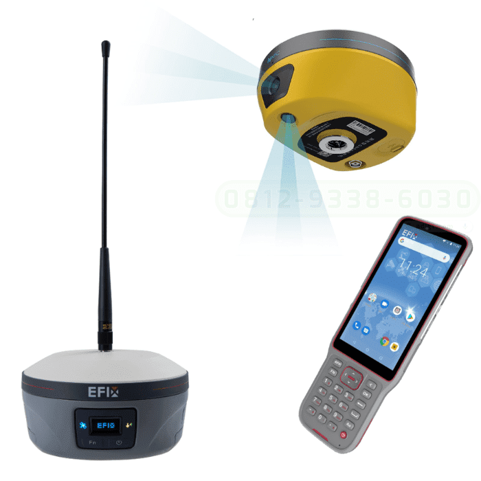
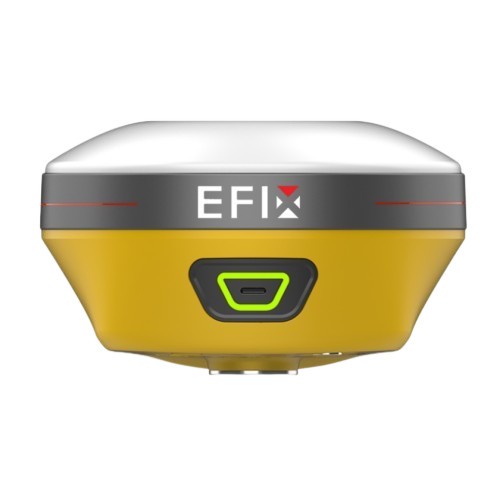
GPS EFIX C8
The EFIX C8 is a groundbreaking surveying RTK that seamlessly combines state-of-the-art vision, GNSS and IMU technologies. By integrating a powerful vision system, the C8 revolutionizes surveying workflows, streamlining operations, and delivering superior results in every surveying project. This integration empowers surveyors to tackle complex surveying tasks with unprecedented accuracy and ease. The real-time visual feedback provided by the vision system enables accurate stakeout, eliminating the need for complicated offset methods. Surveyors can efficiently measure previously inaccessible points and streamline their surveying workflow, increasing overall productivity. With the EFIX C8, surveyors can enhance their surveying capabilities and achieve superior results on every project they undertake.
EFFORTLESS AR VISION NAVIGATION + VISION STAKEOUT
• Convenient AR Vision Navigation: Long-distance guidance with large arrows and accurate real-time distance indication
• Real-Time AR Vision Stakeout: Integration of GNSS, IMU, and advanced vision fusion technology with dual cameras.
• Real-Time Stakeout Point Display: Represent with red dots in the eField software to achieve precise stakeouts by poking the pole, doubling efficiency.
• EFIX Virtual Pole Tip Technology: Maintain visibility of virtual pole tip for a clear and unobstructed display.
VISION SURVEY: ACCURATELY MEASURE COMPLEX SCENES IN REAL-TIME
• Easily measure complex scenes with integrated GNSS, IMU and vision fusion algorithm.
• Acquire highly accurate 3D coordinates from real-time video, including signal-obscured, hard-to-reach, and hazardous points.
• Dynamic panoramic shooting with automated image matching for fast and accurate vision surveying.
• Seamlessly collect and use data once, without interruption or rework, ensuring excellent data usability.
EFFICIENT 3D MODELING FOR FIELD AND OFFICE WORK
• Collaborative modeling with drones: Utilize real-time RTK measurements and dynamic shooting to enhance modeling capabilities, replacing traditional photo-based methods.
• Streamlined single building modeling: Seamlessly capture and model individual buildings using vision RTK panoramic dynamic shooting, eliminating the need for equipment changes.
• Manual precision modeling support: Export engineering data to industry-standard software, such as ContextCapture, to create highly accurate 3D models for real-world projects.
FULLY INTEGRATED GNSS AND 4D AUTO-IMU
• Automatic on-the-move IMU initialization eliminates threshold requirements.
• Maintain accuracy within 3cm even when the range pole is not held perfectly upright.
• 0~60° pole tilt capability allows reaching areas where centering is difficult or dangerous, or simply sparing users from the task.
• Enhances measurement and stakeout efficiency by 30%.
FULL CONSTELLATION SUPPORT AND ADVANCED RTK ENGINE: RTK SIGNAL BOOSTED BY 60%!
• GPS, GLONASS, Galileo, BeiDou and QZSS, 1608 signal channels for tracking them all.
• High efficiency SoC provides 60% increase in computing speed.
• Advanced Full-Star technology and RTK algorithm ensure millimeter to centimeter accuracy.
• Adaptive anti-interference and multipath mitigation capabilities ensure reliable and stable precision.
Brosure
Hanya pelanggan yang sudah login dan telah membeli produk ini yang dapat memberikan ulasan.
Produk Terkait


GPS SINGULAR XYZ X1
Baca selengkapnyaThe SingularXYZ X1 GNSS Receiver is a lightweight, ultra-compact RTK receiver designed for demanding field conditions. Offering full satellite tracking, tilt compensation, and a long-lasting battery, it delivers consistent high-precision results in any environment.
GPS Recon RD8
Baca selengkapnyaRECON RD8 Laser This tool is designed to increase the efficiency and accuracy of measurements in the field, especially in difficult conditions such as closed areas, tall objects, or locations that cannot be reached directly. With a combination of visual and laser technology, the RD8 enables non-contact measurements (without touching the object) and real-time target …









Ulasan
Belum ada ulasan.