


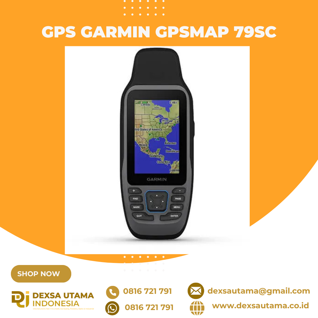
Garmin GPSMAP 79SC
CAST OFF CONFIDENTLY
Stay on course, and track more adventures with these rugged, floating handhelds.

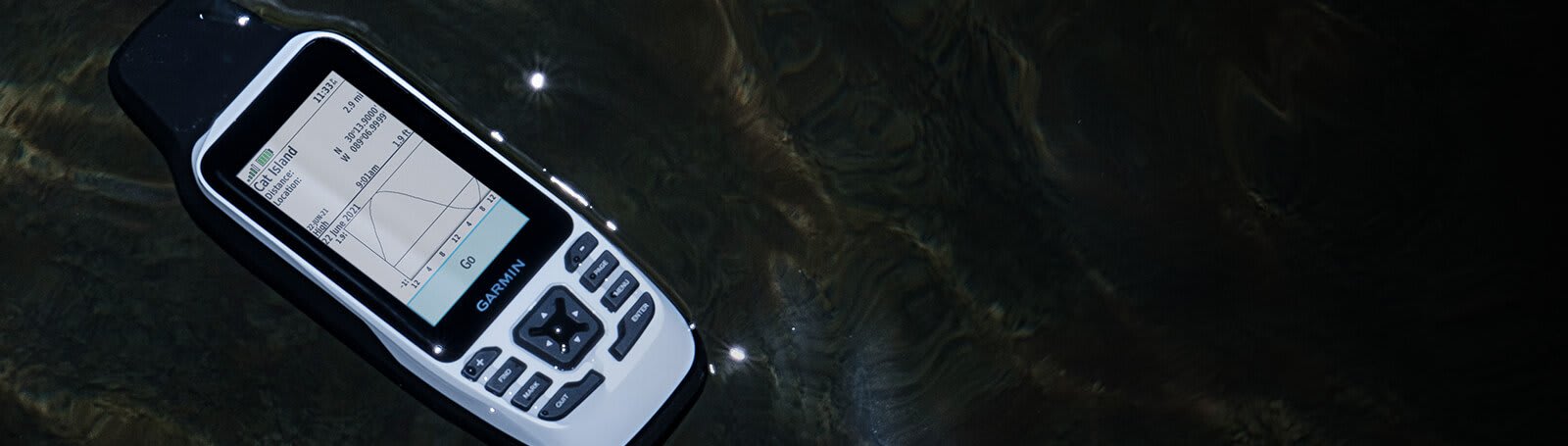
It’s water-resistant, it floats, and it’s fogproof, so it belongs on the water — just like you.

This thing can remember up to 10,000 waypoints and more, so you don’t have to.

It’s nice to have reliable positioning when you’re out on the water.

The built-in compass will point you in the right direction.

Get the best of Garmin and Navionics® data with optional BlueChart® g3 coastal charts.

Stay out longer with up to 19 hours of battery life in GPS mode.

Built for life on the boat.
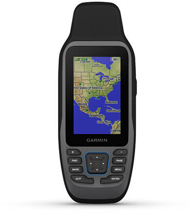
RUGGED HANDHELD
This handheld is water-resistant (IPX7) with a high-resolution color display you can read in the sun. The glass is even scratch-resistant and fogproof.
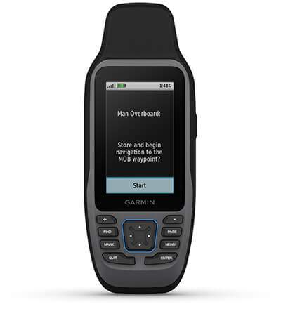
DESIGNED TO FLOAT
If rough waters come and the handheld goes overboard, don’t worry. This device floats.
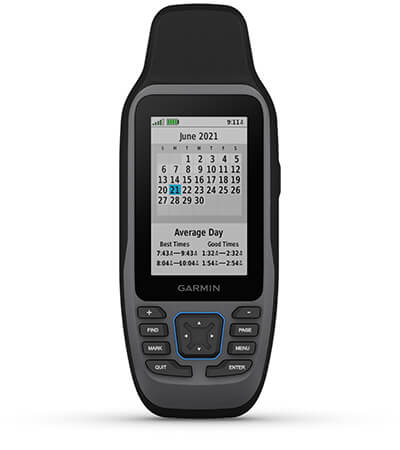
BATTERY LIFE
User-replaceable AA batteries (not included) provide up to 19 hours of battery life in GPS tracking mode.
Exactly what you need to navigate.
ACCURATE TRACKING
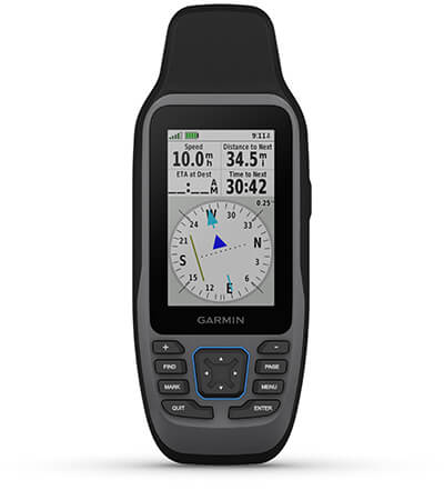
With support for multiple satellite constellations — such as GPS, GLONASS, Galileo, QZSS and SBAS — you’ll get accurate, reliable tracking and positioning around the world.
INCREASED MEMORY
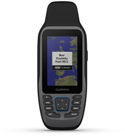
More memory than previous models means you can save and track 10,000 waypoints, 250 routes and 300 fitness activity files.
BUILT-IN COMPASS
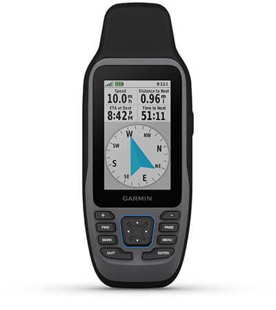
The 3-axis tilt-compensated electronic compass shows your heading — even while the boat is standing still.
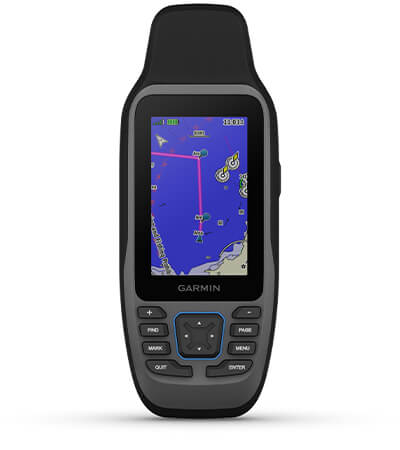
BLUECHART COVERAGE
Preloaded BlueChart g3 coastal charts (GPSMAP 79sc only) give you leading-edge coverage, clarity and detail with integrated Garmin and Navionics data. Coverage includes the U.S. and the Great Lakes.
Hanya pelanggan yang sudah login dan telah membeli produk ini yang dapat memberikan ulasan.
Produk Terkait


Garmin Fishfinder 250
Baca selengkapnya3.5-inch CHIRP Fishfinder with GPS Multi language support: FF250 GPS is available in the following 8 languages so you can use more effectively, including English, Simplified Chinese, Thai, Vietnamese, Malaysia Bahasa, Hindi, Gujarat and Tagalog. One new Over Voltage Protection design that with an special over voltage protection feature to protect the device from high …

GPS Garmin eTrex 32x
Baca selengkapnyaJELAJAHI DENGAN RAHASIA DENGAN GPS HANDHELD YANG DAPAT DIANDALKAN Layar warna 2,2” yang dapat dibaca sinar matahari dengan 240 x 320 piksel tampilan untuk meningkatkan keterbacaan Dimuat dengan peta TopoActive dengan jalan dan jalur yang dapat dilalui untuk bersepeda dan hiking Dukungan untuk sistem satelit GPS dan GLONASS memungkinkan pelacakan di lingkungan yang lebih menantang …

GPS Garmin AQUAMAP 1022xs
Baca selengkapnyaMemancing Bebas Kendala dengan AQUAMAP Baru Dukungan multibahasa: Inggris, Mandarin Sederhana, Mandarin Tradisional, Jepang, Korea, Thailand, Indonesia, Malaysia, Vietnam, Birma, Hindi, Gujarat. Layar berwarna 10 inci dengan antarmuka keypad dan kenop pengontrol multifungsi. Kapabilitas jaringan secara penuh untuk Jaringan Kelautan Garmin dan NMEA 2000 plus dukungan NMEA 0183 Mencakup kemampuan sonar dengan sonar tradisional internal …

Garmin GSD 25
Baca selengkapnyaPremium CHIRP and Scanning Sonar Module Premium remote network sonar solution Includes true dual-channel 1 kW CHIRP, plus CHIRP SideVü and ClearVü scanning sonar for the clearest images on the water (transducers sold separately) Provides serious sportsfishers outstanding fishfinding and bottom tracking capabilities Helps distinguish between small and closely spaced fish at key fishing depths …





Ulasan
Belum ada ulasan.