



GPS Garmin Montana 710
STAY ON TRACK THROUGH ALL KINDS OF ADVENTURES
With routable mapping for roads and trails, the Montana 710 handheld brings advanced outdoor features into a sturdy 5-inch format that’s ideal for navigation on foot, bike, kayak, ATV and more.

LARGE 5-INCH GLOVE-FRIENDLY TOUCHSCREEN

PRELOADED TOPOGRAPHIC MAPS WITH LANDMARKS

MEETS MIL-STD 810 FOR THERMAL, SHOCK, WATER AND VIBRATION

SATELLITE IMAGERY SHOWS VIVID OVERHEAD VIEWS OF YOUR ROUTE

SUPPORTS OUTDOOR MAPS+ FOR PREMIUM MAPPING (SOLD SEPARATELY)

PLAN AND REVIEW TRIPS WITH THE GARMIN EXPLORE™ SMARTPHONE APP
WHAT YOU’LL LOVE
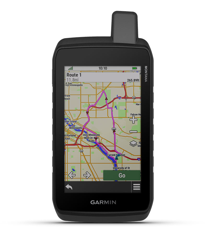
RUGGED BY DESIGN
This durable, water-resistant handheld is tested to meet MIL-STD 810 for thermal, shock, water and vibration. It features a glove-friendly 5-inch touchscreen and is compatible with a variety of robust mounting solutions (sold separately) to best suit your activities.
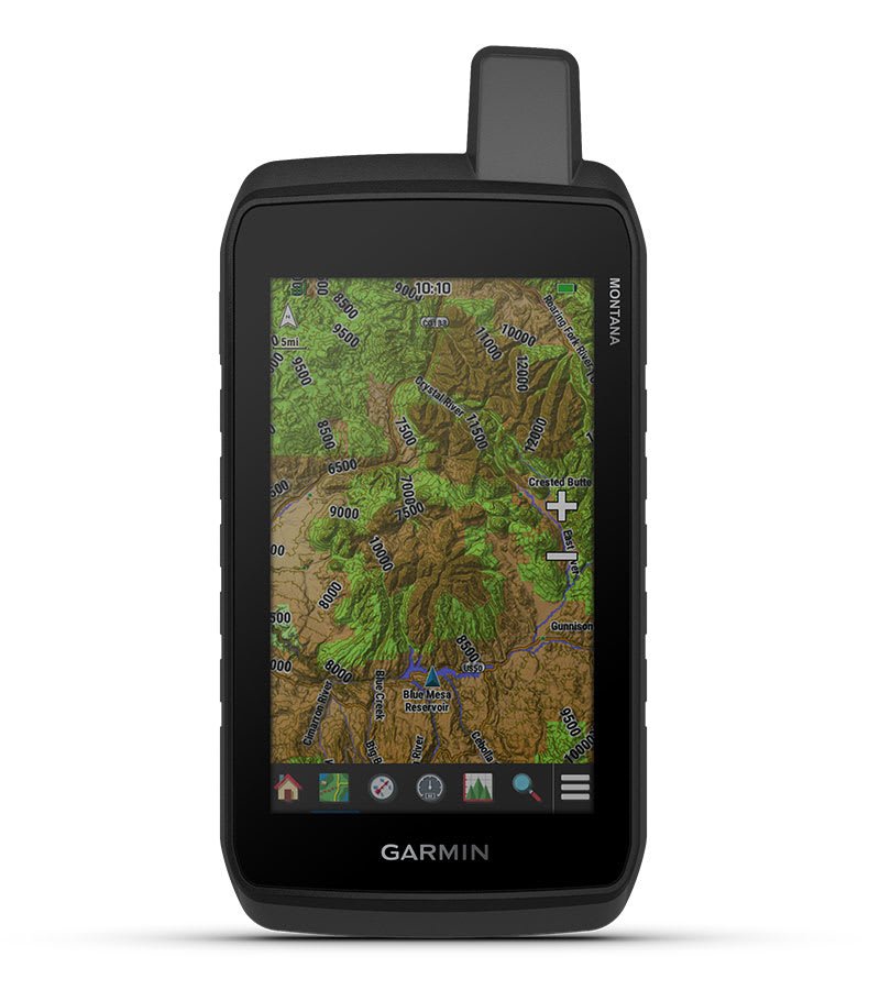
TOPOACTIVE MAPS
To navigate your adventures, use preloaded worldwide topographical maps. View terrain contours, elevations, coastlines, rivers, landmarks and more.
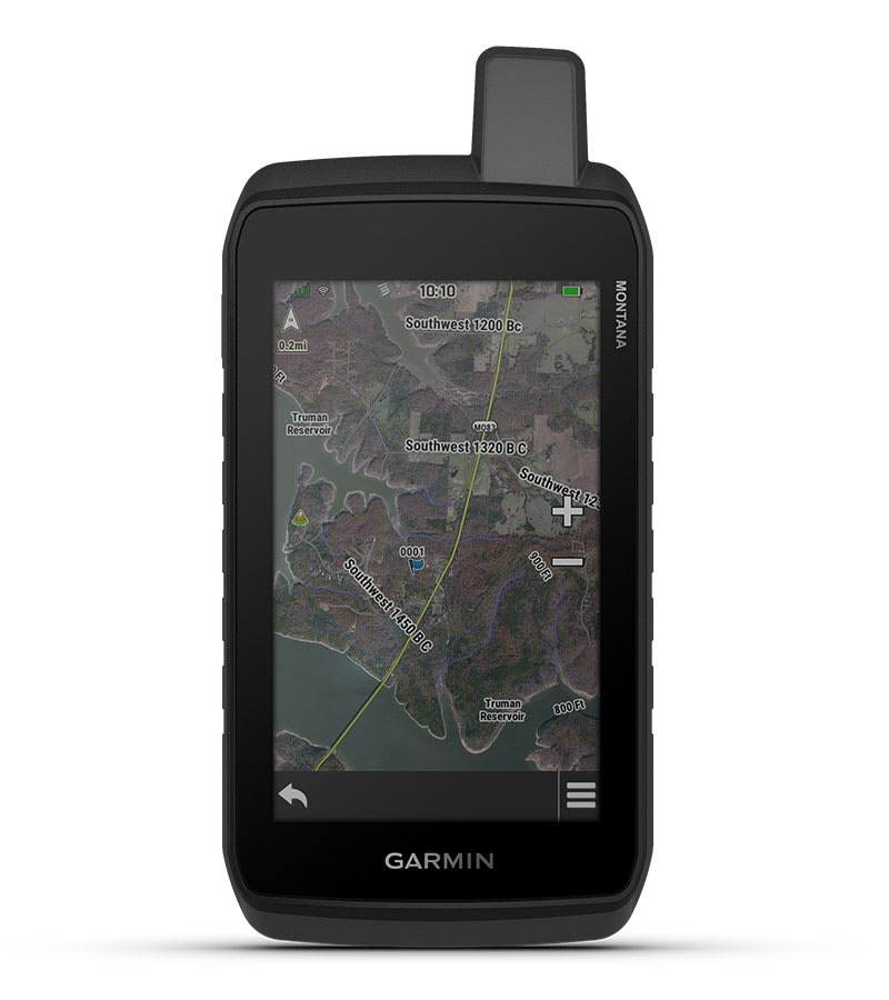
SATELLITE VIEWS
Access subscription-free, high-resolution satellite imagery with direct-to-device downloads over Wi-Fi® connectivity. See photorealistic overhead views of routes and surrounding terrain, and easily create waypoints based on landmarks.
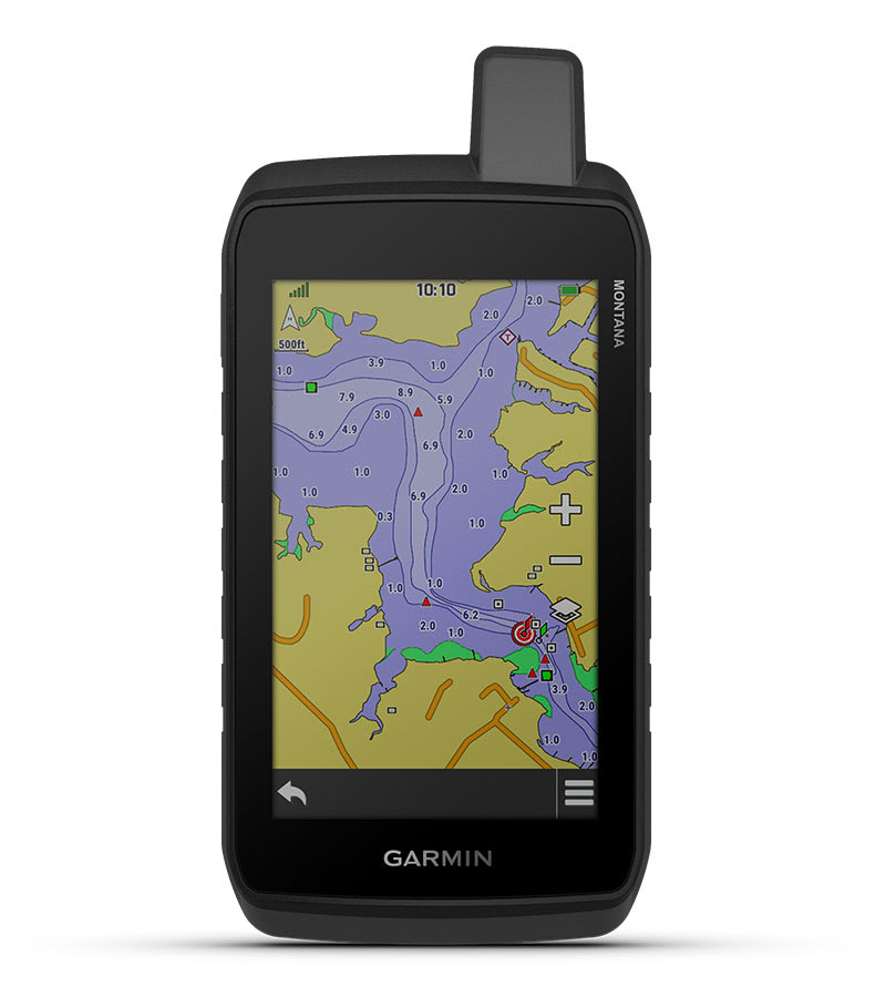
ADDITIONAL MAPS
With 32 GB of onboard memory, you can download even more maps, such as City Navigator® maps for your drive or BlueChart® g3 charts for the water (sold separately).
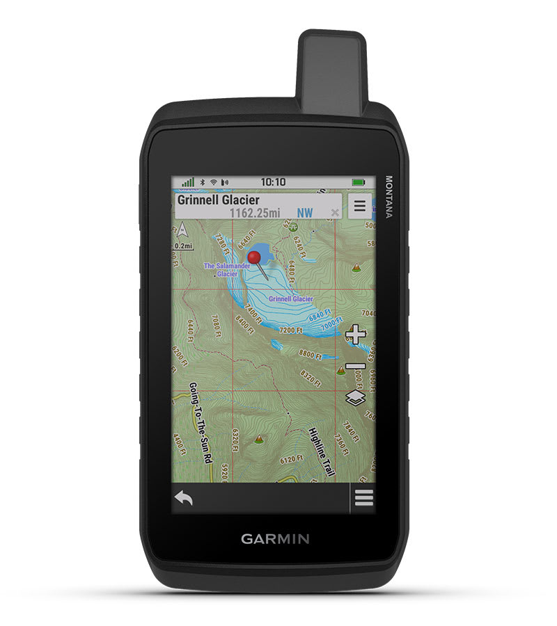
OUTDOOR MAPS+
With a subscription to Outdoor Maps+ (sold separately), get ongoing access to a wide variety of premium mapping content and regular updates sent right to your Garmin device via Wi-Fi technology.
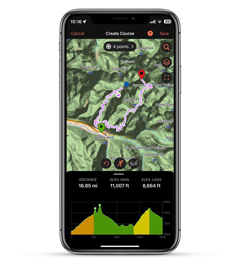
GARMIN EXPLORE APP
Pair with the Garmin Explore app to plan and review trip data, plus manage your waypoints, courses and activities.
Hanya pelanggan yang sudah login dan telah membeli produk ini yang dapat memberikan ulasan.
Produk Terkait


Garmin STRIKER Vivid 5cv
Baca selengkapnyaPILIHAN ADA DI TANGAN ANDA Lihat ikan dan struktur dalam detail maksimum saat Anda memilih warna tampilan, lokasi dan sonar Anda untuk hari Anda di atas air dengan fishfinder STRIKER Vivid 5cv. Warna sonar yang Anda pilih menggambarkan banyak hal tentang gaya memancing Anda. Hal bagusnya, ada 7 pilihan vivid baru. Pandangan yang indah. Fishfinder …

Garmin Striker Plus 4
Baca selengkapnya4” GPS Fishfinder with Industry-leading Sonar and Quickdraw Contours Mapping Software Includes dual-beam transducer with Garmin CHIRP traditional sonar for crystal-clear images and remarkable target separation Built-in Garmin Quickdraw™ Contours mapping software lets you create and store maps with 1’ contours for up to 2 million acres Built-in GPS lets you mark waypoints, create routes …

GPS Garmin AQUAMAP 1222xs
Baca selengkapnyaMemancing Bebas Kendala dengan AQUAMAP Baru Dukungan multibahasa: Inggris, Mandarin Sederhana, Mandarin Tradisional, Jepang, Korea, Thailand, Indonesia, Malaysia, Vietnam, Birma, Hindi, Gujarat. Layar berwarna 12 inci dengan antarmuka keypad dan kenop pengontrol multifungsi. Kapabilitas jaringan secara penuh untuk Jaringan Kelautan Garmin dan NMEA 2000 plus dukungan NMEA 0183 Mencakup kapabilitas sonar dengan sonar tradisional internal …

GPS Garmin Montana 700
Baca selengkapnyaEXPLORE YOUR WORLD WITH NAVIGATION YOU TRUST With routable mapping for roads and trails, the Montana 700 handheld brings advanced outdoor features into a sturdy 5” format that’s ideal for navigation on foot, bike, kayak, ATV and more. Expect big things. A large touchscreen puts them all at your fingertips. Routable topographic maps? Check. Now …





Ulasan
Belum ada ulasan.