


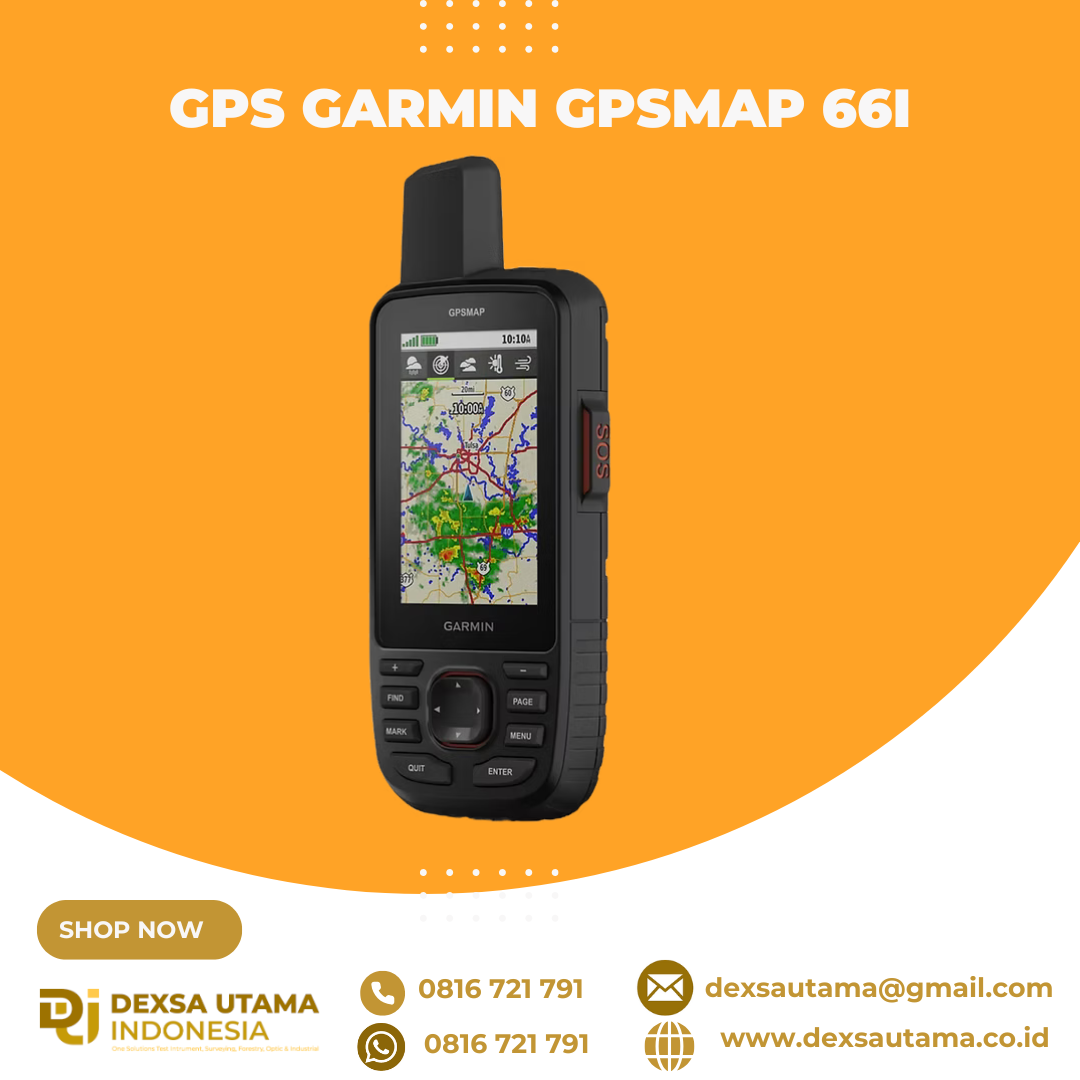
GPS Garmin GPSMAP 66i
MORE ADVENTURE. LESS WORRY.
Precise navigation meets global communication in the rugged GPSMAP 66i button-operated GPS handheld and satellite communicator1 featuring Garmin TopoActive mapping and inReach® technology.

Need assistance? Send interactive SOS alerts anytime, globally.

No matter where you are, two-way messaging lets you connect to the ones who matter.

Let loved ones know precisely where you’re roaming with location tracking and sharing.

Get maps as pretty as a picture and just as detailed —without a subscription.

Know the terrain before you’re in it, with preloaded TopoActive maps of the U.S. and Canada.

Stay out there longer with up to 35 hours of battery life in tracking mode and up to 200 hours in Expedition mode.

Know the way.
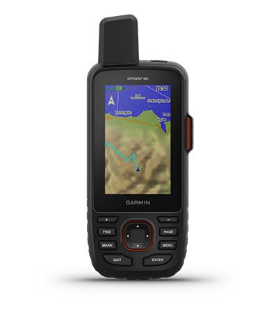
MULTI-GNSS SUPPORT
Access multiple global navigation satellite systems (GPS and GALILEO) to track in more challenging environments than GPS alone.
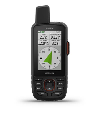
ABC SENSORS
Navigate every trail with ABC sensors, including an altimeter for elevation data, barometer to monitor weather and 3-axis electronic compass.
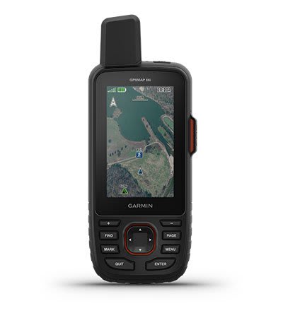
BIRDSEYE SATELLITE IMAGERY
Download high-resolution, photo-realistic maps directly to your device without an annual subscription. Easily find trails, pick stand locations, find parking, create waypoints and more.
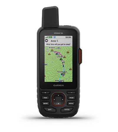
PRELOADED TOPO MAPS
Preloaded TopoActive U.S. and Canada maps show you terrain contours, topographic elevations, summits, parks, coastlines, rivers, lakes and geographical points.
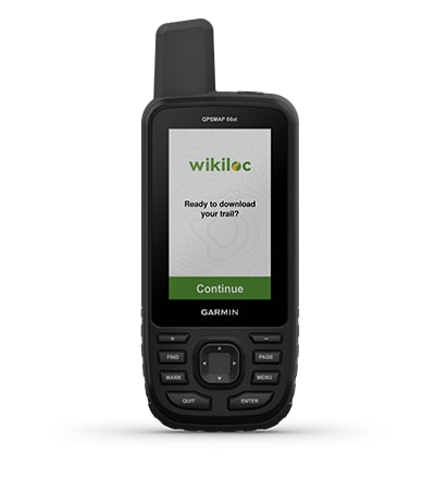
WIKILOC TRAILS
This preloaded app lets you easily download hiking, cycling and other Wikiloc trails shared by outdoor enthusiasts like you. Get a free 60-day Wikiloc Premium trial to try this and other exclusive features. Learn more.

Stay in touch by using inReach technology.
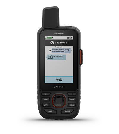
TWO-WAY MESSAGING
Exchange text messages with loved ones back home or communicate inReach to inReach in the field (satellite subscription required).
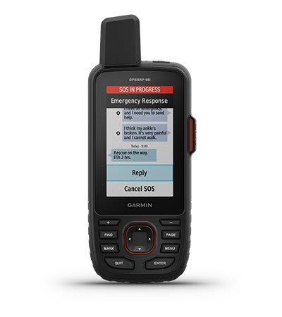
INTERACTIVE SOS ALERTS
In case of emergency, trigger an interactive SOS message to Garmin ResponseSM, a 24/7 staffed professional emergency response coordination center (satellite subscription required).
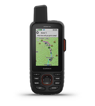
LOCATION SHARING
Track your location, and share it with those at home or out in the field. They’ll be able to see your progress or ping your device for your GPS location and more (satellite subscription required).
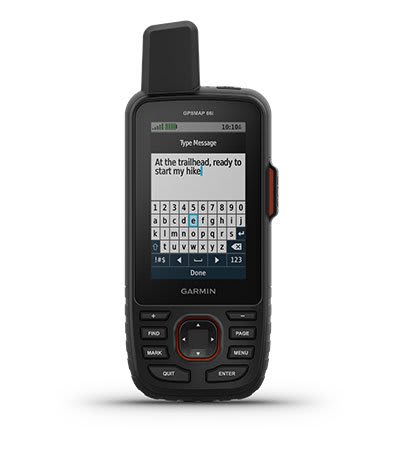
100% GLOBAL IRIDIUM® SATELLITE NETWORK
Instead of relying on cellphone coverage, now your messages, SOS alerts and tracking are transferred via the global Iridium satellite network (satellite subscription required).
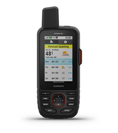
OPTIONAL INREACH WEATHER
Use inReach connectivity to get detailed weather updates on GPSMAP 66i or a compatible device paired with the Garmin Explore™ app. Request weather forecasts for your current location, waypoints or destinations on your route.
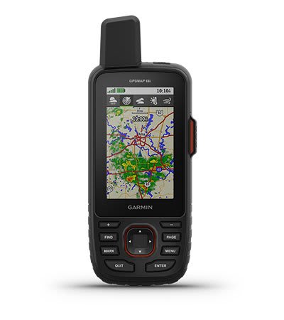
ACTIVE WEATHER
When paired with your compatible smartphone, you can get real-time forecast information and live weather radar, so you’re always aware of the surrounding conditions.
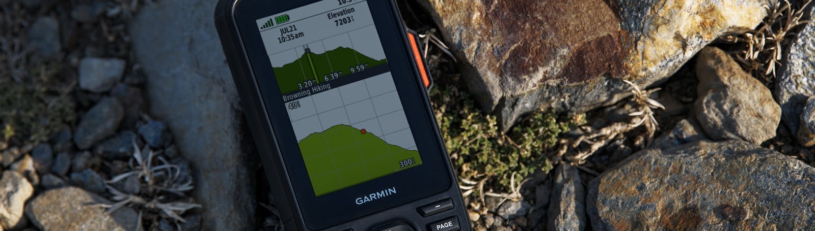
Be adventure ready.
BUILT FOR ADVENTURE
This handheld is built to military standards for thermal, shock and water performance (MIL-STD-810), and it’s even compatible with night vision goggles.
LED FLASHLIGHT
The GPSMAP 66 series helps you keep gear to a minimum with a built-in LED flashlight that can be used as a beacon to signal for help.
GARMIN EXPLORE APP
Plan, review and sync waypoints, routes and tracks by using the Garmin Explore mobile app and website. You can even review completed activities while still in the field.
BATTERY LIFE
Turn on Expedition mode, and get up to 200 hours of battery life while using inReach technology. In the default tracking mode, you get up to 35 hours of battery life, and your device will save your location every 10 minutes.
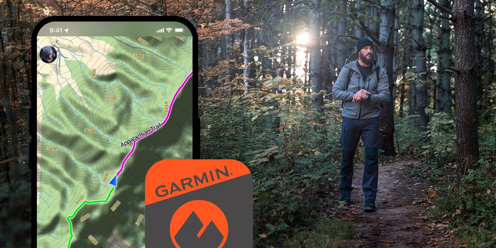
Map, track, sync and share from anywhere using the Garmin Explore™ app

Communicate globally with inReach® satellite technology
Hanya pelanggan yang sudah login dan telah membeli produk ini yang dapat memberikan ulasan.
Produk Terkait


Garmin GMR Fantom 18
Baca selengkapnya18-inch Dome Radar with MotionScope™ Technology 18-inch, 40 W solid-state, dome radar MotionScope™ technology uses the Doppler effect to detect and highlight targets moving toward you or away in different colors to help avoid collisions, find flocks of birds, and track weather Pulse Compression technology provides high resolution while maximizing energy, to enhance detection and …

Garmin GPSMAP 79SC
Baca selengkapnyaCAST OFF CONFIDENTLY Stay on course, and track more adventures with these rugged, floating handhelds. It’s water-resistant, it floats, and it’s fogproof, so it belongs on the water — just like you. This thing can remember up to 10,000 waypoints and more, so you don’t have to. It’s nice to have reliable positioning when you’re out …

Garmin Reactor 40 Hydraulic Autopilot
Baca selengkapnyaSETIAP KAPTEN MEMBUTUHKAN CO-PILOT Dirancang untuk powerboat, pilot otomatis hidraulis Reactor 40 ini memberi Anda bantuan yang dibutuhkan, sehingga Anda dapat menjelajah tanpa khawatir. Corepack hidraulis Reactor 40 ini adalah pendamping yang sempurna untuk sistem kemudi hidraulis Anda. Ya, ada fitur solid-state 9-axis AHRS. Dan ya, itu berarti Anda dapat memasangnya di mana saja. Bahkan …

Garmin Fisfinder 350 Plus
Baca selengkapnyaFind fishing spot, Catch fish with the Power of Garmin CHIRP Multi language support : English, Simplified Chinese, Traditional Chinese, Japanese, Korean, Indonesia Bahasa, Malaysia Bahasa, Vietnamese, Burmese, Thai. Available in 6-inch WVGA color, portrait mode display. Offers a keyed interface with dedicated buttons. CHIRP sonar sends a continuous sweep of frequencies ranging from low …





Ulasan
Belum ada ulasan.