Popular
-

 Software Efix eField
 -
 Bracket Controller Rp0 + PPN 11%
 -
 Hitarget HTS−521 L10 Total Station
 -
 Baterai Nikon XF
 -
 Sokkia Baterai BDC35A Rp0 + PPN 11%


CHCNAV HCE600
The HCE600 is a lightweight, professional Android data collector designed for field surveying and mapping. With a 5.5-inch DragonTrail™ display, it offers exceptional durability and clear visibility in sunlight. Packed with Bluetooth 5.0, dual-band Wi-Fi, and a 4G modem, it ensures seamless connectivity with GNSS receivers and RTK networks. Certified to IP67 and MIL-STD-810H standards, the HCE600 is built to withstand harsh environments, making it the ideal handheld controller for reliable data collection in any conditions


The HCE600 is a lightweight, compact, professional Android 10 data collector with an alphanumeric keypad specifically designed for surveying and mapping operations in the field. Its 5.5-inch DragonTrail™ display offers extreme durability, long-term performance, and incredible sunlight readability.
Packed with connectivity modules including Bluetooth 5.0, dual-band 2.4G and 5G Wi-Fi, 4G modem, and more, the HCE600 connects seamlessly and reliably to your favorite GNSS receivers and RTK network correction sources. Ultra-rugged, it withstands a 1.5-meter drop on concrete and meets stringent IP67 and MIL-STD-810H standards.
The HCE600 is the optimal handheld controller for working in harsh field environments and making your data collection more accessible and more efficient. The HCE600 comes with a 90-day trial version of the LandStar Surveying and Mapping App, trusted by over 100,000 professionals worldwide.
Brosure
Specifications
Hanya pelanggan yang sudah login dan telah membeli produk ini yang dapat memberikan ulasan.
Produk Terkait

GPS Geodetik RTK Comnav Sino Jupiter Laser
Baca selengkapnyaChannel 1668 Satellites tracking GPS: L1C/A, L1C, L2P, L2C, L5 BDS: B1l, B2l, B3l, B1C, B2a, B2b GLONASS: L1, L2, L3 Galileo: E1, E5a, E5b, E6c, E5 AItBOC QZSS: L1C/A, L2C, L5, L1C IRNSS: L5 SBAS: L1C/A PPP: B2b & HAS L-Band Signal Re-acquisition ≤1s Cold Start ≤30s Hot start ≤10s RTK Initialization Time <5s(Baseline≤10km) …


Produk
-
 Nikon Single Prisma/ Prisma Detils Rp0 + PPN 11%
 -
 South Charger GPS RTK Rp0 + PPN 11%
 -
 Sokkia Charger CDC40 Rp0 + PPN 11%
 -
 Diagonal Eyepiece Topcon ES Rp0 + PPN 11%
 -
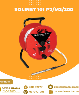 Solinst 101 P2/M3/200
 -
 Sokkia Single Prisma/ Prisma Detils. Rp0 + PPN 11%
 -
 KaliKo Sample Bags 40x50cm Draw string
Ulasan
Belum ada ulasan.