



GPS Garmin GPSMAP 67i
GO EXPLORE THE OUTDOORS — AND STAY CONNECTED TO HOME
Make more time for adventure with this premium, rugged GPS handheld and satellite communicator. Get inReach® technology that enables two-way messaging, interactive SOS alerts and location sharing1 plus mapping to keep you on course.

Travel longer with up to 165 hours of battery life in tracking mode and up to 425 hours in expedition mode.

Two-way messaging lets you share the moment with the ones who matter.

Let your loved ones follow your adventure with location tracking.

Have an emergency? Trigger an interactive SOS alert anytime, globally.

Track your position in challenging conditions with multi-band technology and expanded GNSS support.

Discover new favorite places.
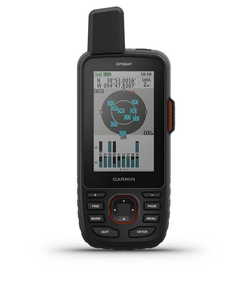
MULTI-BAND GNSS SUPPORT
Access multiple global navigation satellite systems (GPS, Galileo and QZSS). Get access to multiple frequencies sent by navigation satellites for improved position accuracy in areas where GNSS signals are reflected, weak or typically don’t penetrate.
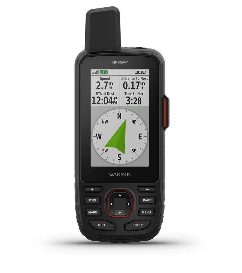
ABC SENSORS
Navigate every trail with ABC sensors, including an altimeter for elevation data, barometer to monitor weather and 3-axis electronic compass.
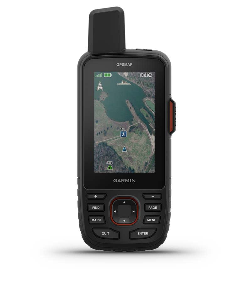
SATELLITE IMAGERY
Download high-resolution, photorealistic maps directly to your device via Wi-Fi® technology. Easily find trails, pick stand locations and parking, create waypoints and more.
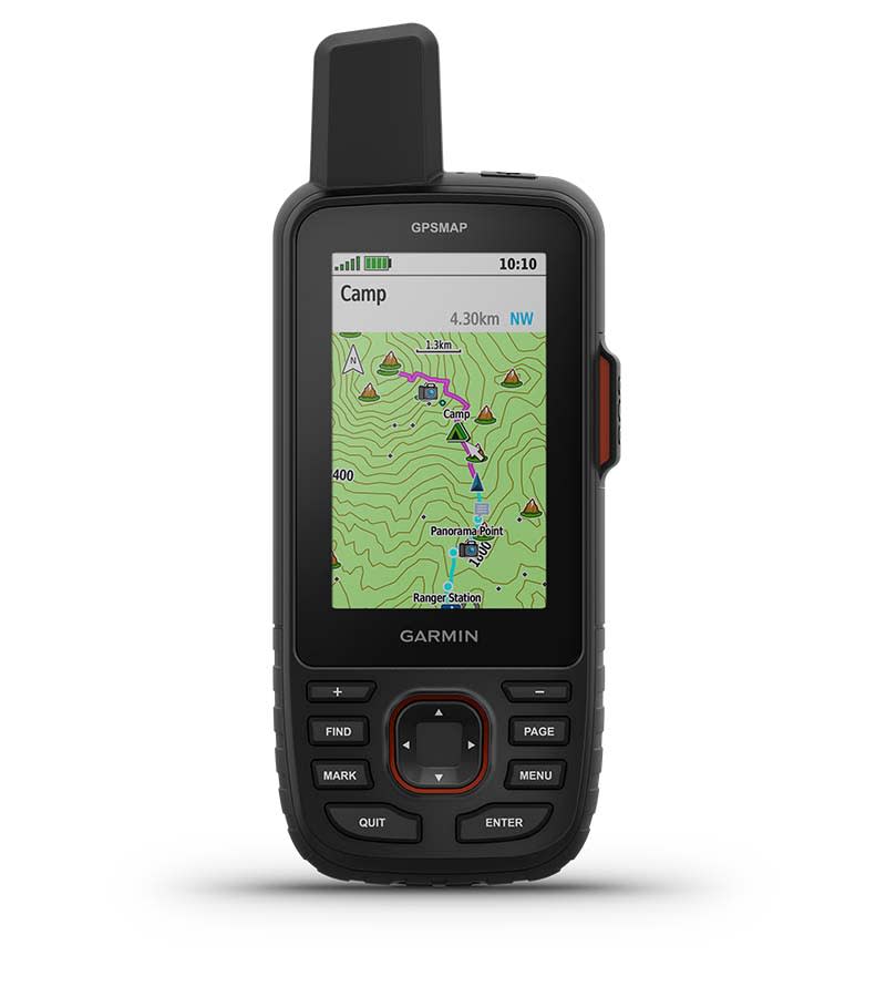
PRELOADED TOPO MAPS
Get preloaded TopoActive maps for the U.S., Mexico and Canada — plus easy access to additional TopoActive mapping around the globe. View terrain contours, topographic elevations, summits, parks, coastlines, rivers, lakes, geographical points and more.
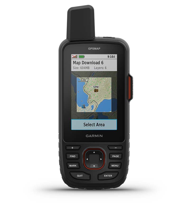
PREMIUM MAP FEATURES
With an Outdoor Maps+ subscription, you get public land information, landowner names, state plat maps, hunting management unit boundaries, BLM boundaries and more.
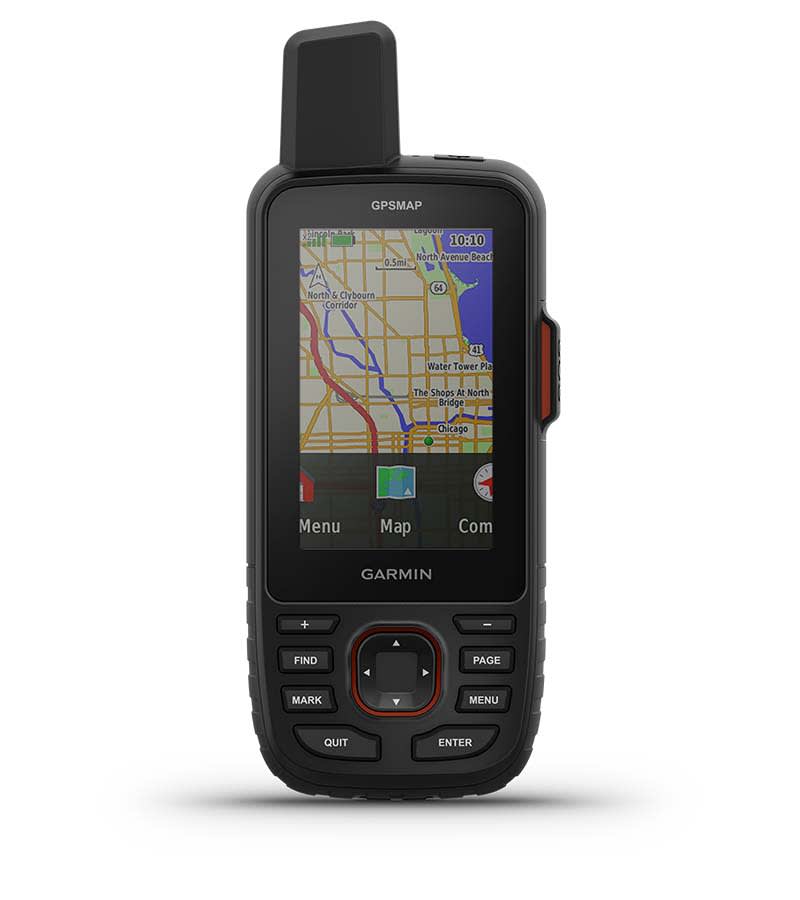
BATTERY LIFE
Turn on expedition mode, and get up to 425 hours of battery life while using inReach technology. In the default tracking mode, you get up to 165 hours of battery life, and your device will save your location every 10 minutes.

Keep in touch on the trail.
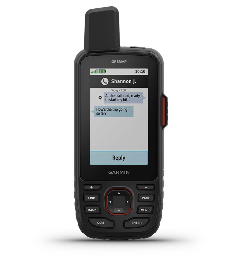
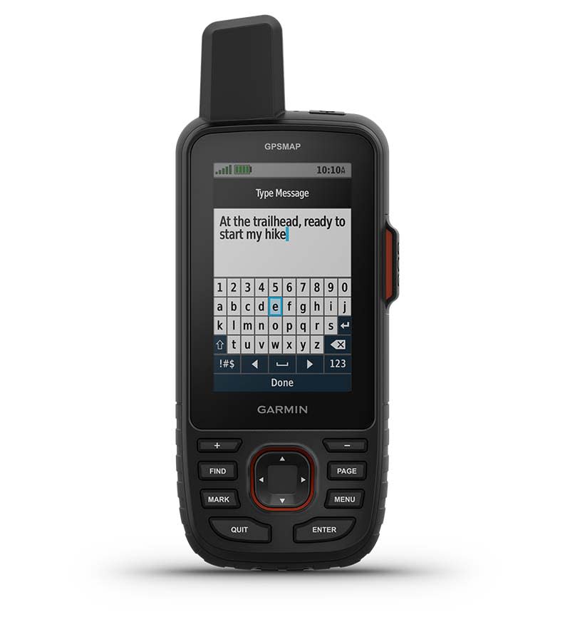
TWO-WAY MESSAGING
Exchange text messages with loved ones back home or communicate inReach to inReach in the field.
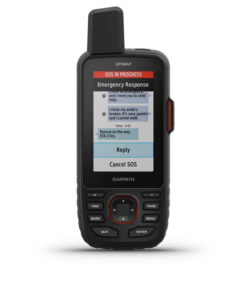
INTERACTIVE SOS ALERTS
In case of emergency, trigger an interactive SOS message to the Garmin ResponseSM center, a 24/7-staffed professional emergency response coordination center.
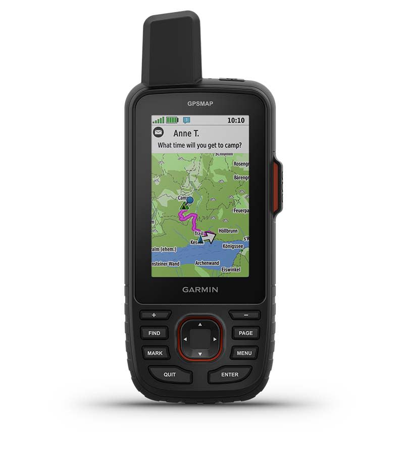
LOCATION SHARING
Track your location and share it with those at home or out in the field. They’ll be able to see your progress or ping your device for your GPS location and more.
100% GLOBAL IRIDIUM® SATELLITE NETWORK
Instead of relying on cellphone coverage, now your messages, SOS alerts and tracking are transferred via the global Iridium satellite network.
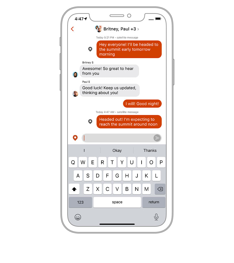
GARMIN MESSENGER™ APP
Download the Garmin Messenger app to your compatible smartphone, and pair it with your GPSMAP 67i handheld for fast, easy messaging and 24/7 SOS that’s not limited to cellphone coverage areas1. The app supports group messaging as well.
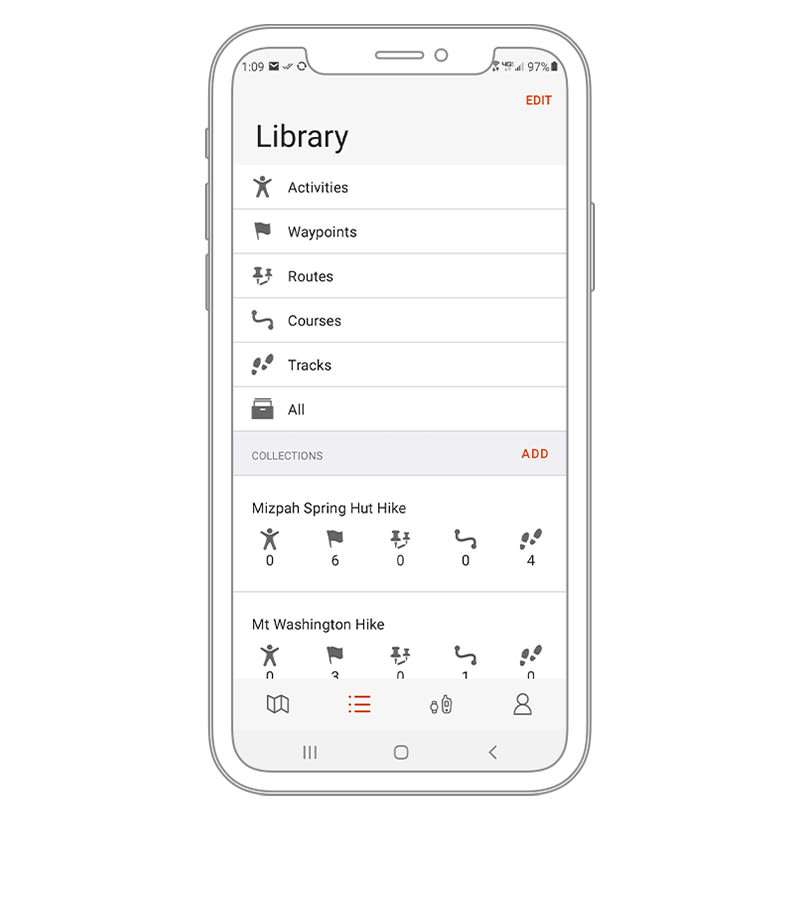
GARMIN EXPLORE™ APP
Plan, review and sync waypoints, routes and tracks by using the Garmin Explore app and website. You can even review completed activities while still in the field.
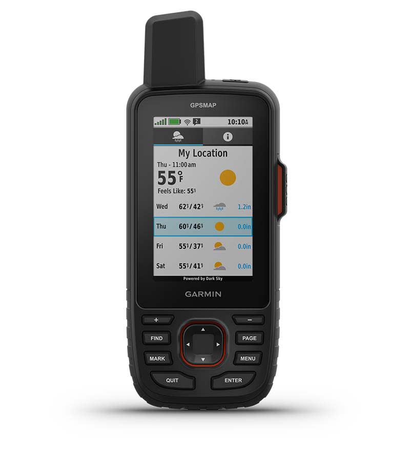
OPTIONAL INREACH WEATHER
Use inReach connectivity to get detailed weather updates on the GPSMAP 67i handheld. Request weather forecasts for your current location, waypoints or destinations on your route.
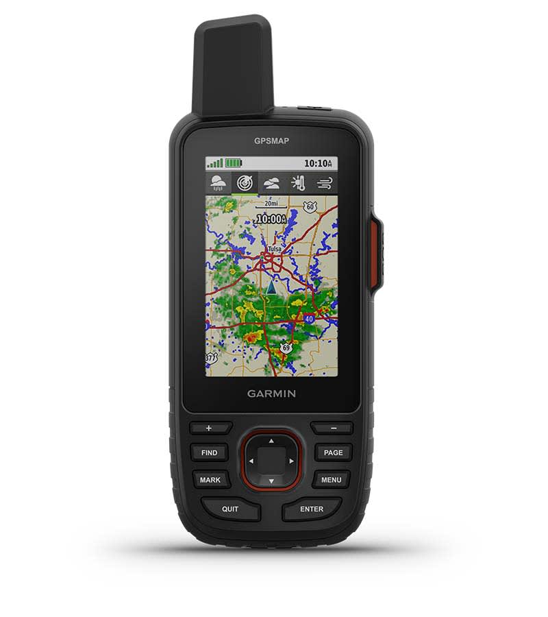
ACTIVE WEATHER
When connected to the Garmin Explore smartphone app, you can get real-time forecast information, so you’re aware of the changing conditions.

Find your way for days.
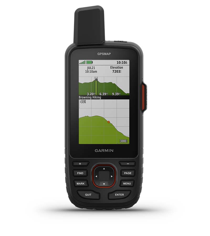
BUILT FOR ADVENTURE
This handheld is built to military standards for thermal, shock and water performance (MIL-STD-810), and it’s even compatible with night vision goggles.
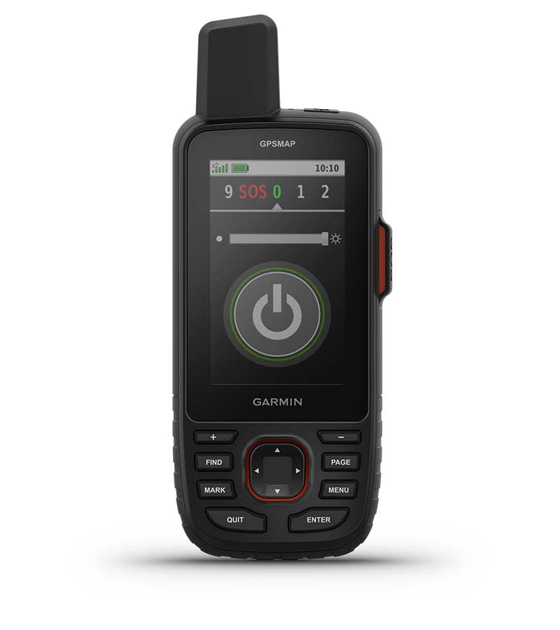
LED FLASHLIGHT
The GPSMAP 67 series helps you keep gear to a minimum with a built-in LED flashlight that can be used as a beacon to signal for help.
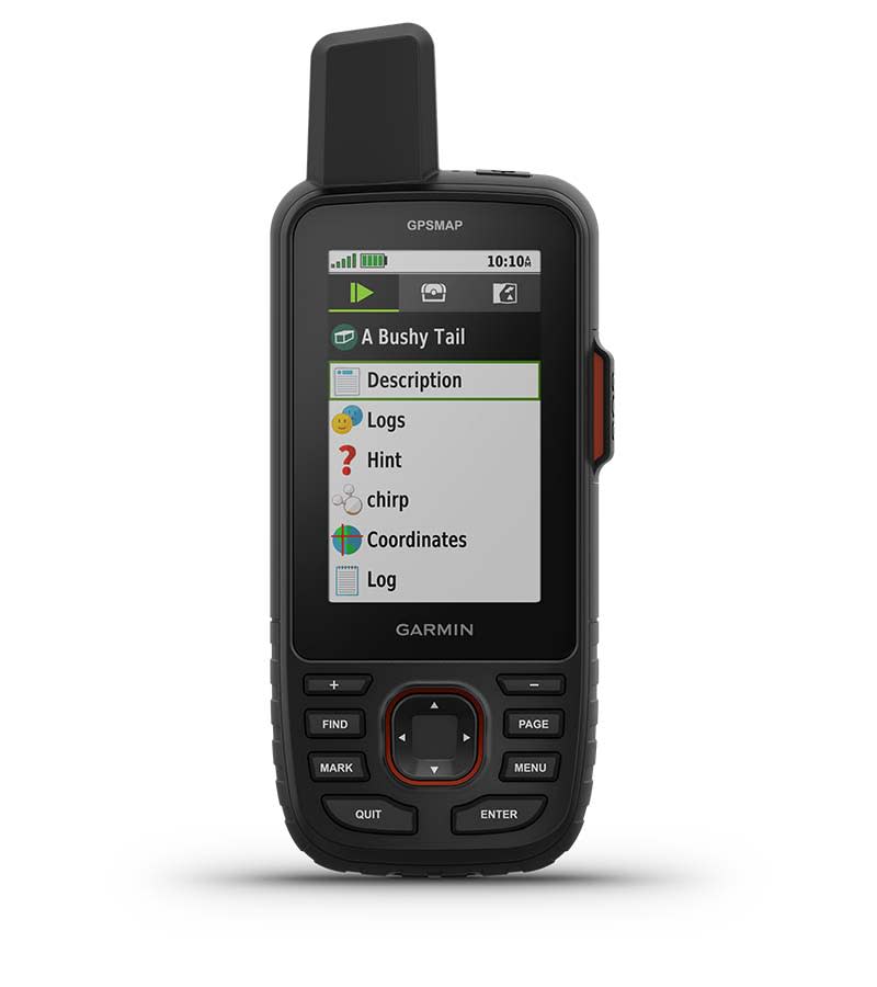
GEOCACHING
Get automatic cache updates from Geocaching Live, including descriptions, logs and hints. When connected via Wi-Fi technology or to the Garmin Explore™ smartphone app, each find will upload to your Geocaching.com profile.
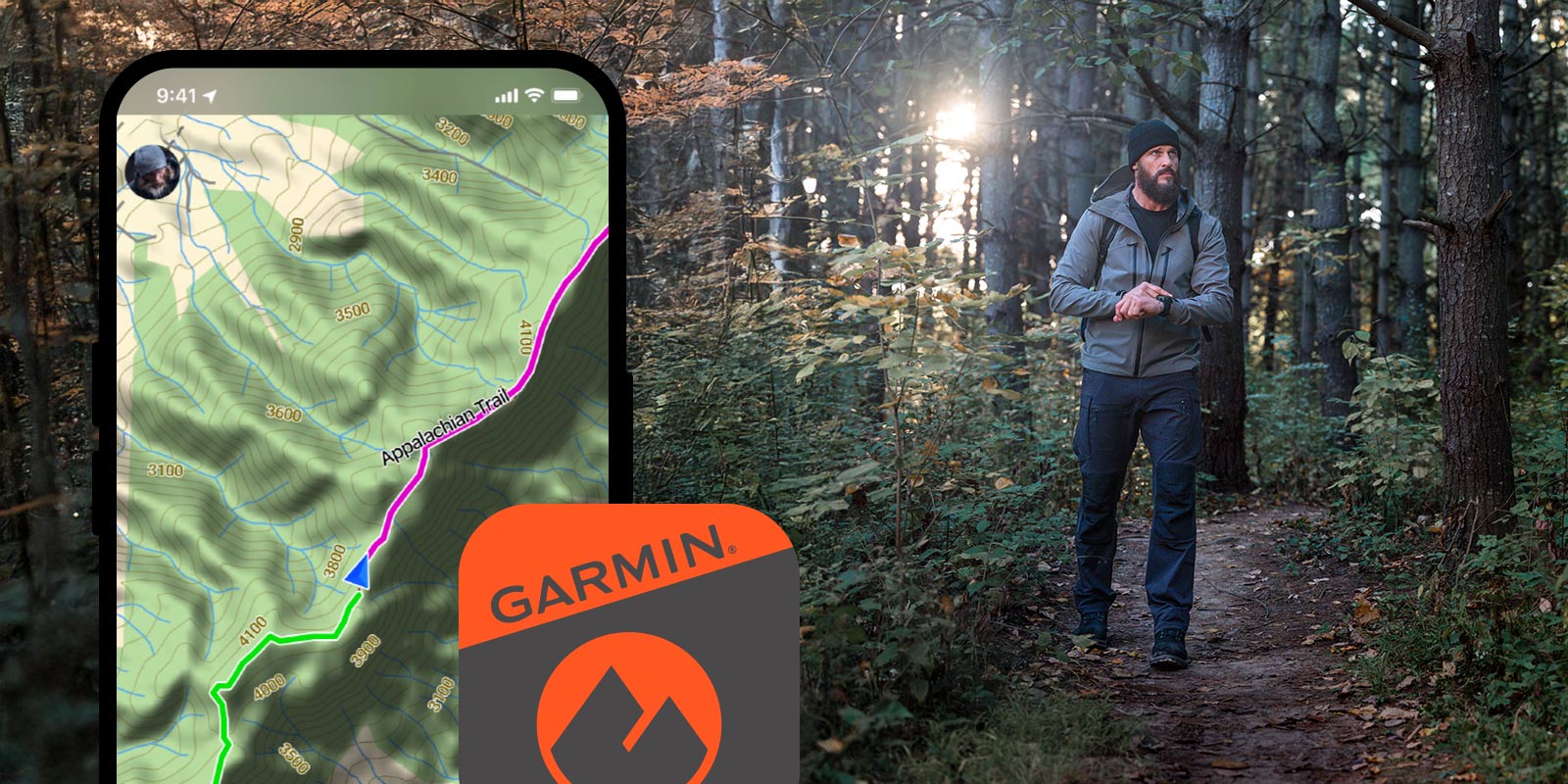
Garmin Explore™ App for off-grid navigation and more.

Communicate globally with inReach® satellite technology.
Hanya pelanggan yang sudah login dan telah membeli produk ini yang dapat memberikan ulasan.
Produk Terkait


GPS Garmin Montana 700
Baca selengkapnyaEXPLORE YOUR WORLD WITH NAVIGATION YOU TRUST With routable mapping for roads and trails, the Montana 700 handheld brings advanced outdoor features into a sturdy 5” format that’s ideal for navigation on foot, bike, kayak, ATV and more. Expect big things. A large touchscreen puts them all at your fingertips. Routable topographic maps? Check. Now …

Garmin GT15M-TM
Baca selengkapnyaTransduser GT15M-TM sempurna untuk nelayan yang menginginkan definisi dasar yang jelas di bawah kapal serta lengkungan ikan yang tajam, jernih dan lebar dengan pemisahan target yang sangat baik hingga kedalaman hingga 1.900 kaki. Transduser 8-pin memiliki fitur sonar tradisional CHIRP mid-band (85-165 kHz) dan memiliki peringkat daya 600 W. Transduser ini dapat dipasang pada transom. …

Garmin GSD 25
Baca selengkapnyaPremium CHIRP and Scanning Sonar Module Premium remote network sonar solution Includes true dual-channel 1 kW CHIRP, plus CHIRP SideVü and ClearVü scanning sonar for the clearest images on the water (transducers sold separately) Provides serious sportsfishers outstanding fishfinding and bottom tracking capabilities Helps distinguish between small and closely spaced fish at key fishing depths …

GPS Garmin AQUAMAP 1222xs
Baca selengkapnyaMemancing Bebas Kendala dengan AQUAMAP Baru Dukungan multibahasa: Inggris, Mandarin Sederhana, Mandarin Tradisional, Jepang, Korea, Thailand, Indonesia, Malaysia, Vietnam, Birma, Hindi, Gujarat. Layar berwarna 12 inci dengan antarmuka keypad dan kenop pengontrol multifungsi. Kapabilitas jaringan secara penuh untuk Jaringan Kelautan Garmin dan NMEA 2000 plus dukungan NMEA 0183 Mencakup kapabilitas sonar dengan sonar tradisional internal …






Ulasan
Belum ada ulasan.