

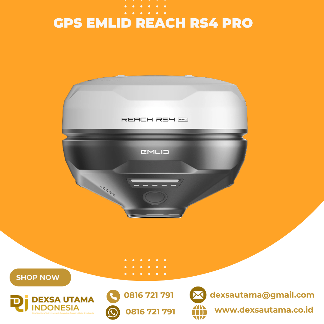
GPS Emlid Reach RS4 Pro
All-band RTK GNSS receiver with dual
cameras and centimeter precision
Two Full-HD cameras
Next-gen tilt compensation
Next-level stakeout with augmented
reality and measuring from photos
L1/L2/L5/L6
Key features
Stake out faster with AR
Cm-level accuracy,
even under canopy
Measure from images
Next-gen tilt compensation
16 hours on one charge
Built to last
Quick release mount
Dual-band radio and NTRIP
With the RS4 Pro, stakeout becomes visual.
Rather than simply following coordinates on
a map, your designs are directly overlaid on the
real world, clearly showing where to place stakes.
Crews can work faster with AR guidance, even
on complex construction sites and roadworks.
672 channels and full-band reception deliver
reliable centimeter precision, even under
canopy or in urban areas.
Even if you can’t put the pole on that point,
you can still measure it with your RS4 Pro.
Use the cameras to measure building facades,
areas behind fences, across busy roads and any
other inaccessible points. Save time setting up
a total station and avoid hazardous areas.
Work freely with unlimited pole tilt—no calibration
needed, no magnetic interference. Activates
with just a couple of moves and remains stable
throughout the survey.
Work all day without interruption—recharge
via USB-C or power bank.
A magnesium alloy body, IP68 protection, and
temperature range from -40 to +65 °C make
RS4 Pro field-ready anywhere.
A secure, backlash-free connection to the survey
pole ensures consistent accuracy in every setup.
915 MHz LoRa for licence-free connections, and
450 MHz UHF for a licensed operation of up to 2W,
to send and receive corrections. NTRIP support
for seamless work with VRS and CORS networks
Brosure
Hanya pelanggan yang sudah login dan telah membeli produk ini yang dapat memberikan ulasan.


Ulasan
Belum ada ulasan.