


GPS Recon RD8
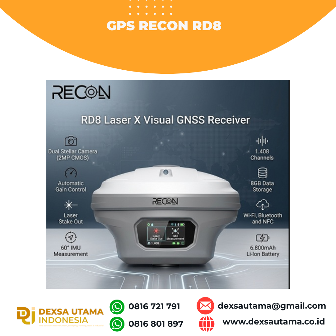
RECON RD8 Laser This tool is designed to increase the efficiency and accuracy of measurements in the field, especially in difficult conditions such as closed areas, tall objects, or locations that cannot be reached directly.
With a combination of visual and laser technology, the RD8 enables non-contact measurements (without touching the object) and real-time target visualization, making the survey process faster, safer and more intuitive.
Features
- AGC (Automatic Gain Control)
- Laser Fix
- Laser Stake Out
- Real-Time Result
Specifications
| Satellite Performance | |
| Channel | 1,408 | 1,808 (upgradable) |
| GPS | L1C/A, L2C, L2P(Y), L5 |
| GLONASS | L1, L2 |
| BEIDOU | B1i, B2i, B3i, B1C, B2a, B2b |
| GALILEO | E1, E5a, E5b, E6 |
| QZSS | L1, L2, L5, L6 |
| SBAS | L1, L5 |
| L-Band | B2b PPP |
| Positioning Rate | 1-20Hz |
| Accuracy | |
| Code Differential | H: 0.40m (RMS) V: 0.80m (RMS) |
| Static | H: 2.5mm ±0.5ppm (RMS) V: 3.5mm ±0.5ppm (RMS) |
| Real-Time Kinetic | H: 8mm ±1ppm (RMS) V: 15mm ±1ppm (RMS) |
| Network RTK | H: 8mm ±0.5ppm (RMS) V: 15mm ±0.5ppm (RMS) |
| PPK | H: 3mm ±1ppm (RMS) V: 5mm ±1ppm (RMS) |
| IMU Measurement | |
| Tilt Accuracy (No Tilt Angle Limit) | 2cm within 60° |
| Data Storage | |
| Type & Storage | SSD 8GB External USB Pen Drive |
| Data Transfer | Type-C USB Transfer Supports FTP/HTTP download |
| Differential Format | RTCM 2.1, RTCM 2.3, RTCM 3.0, RTCM 3.1, RTCM 3.2, RTCM 3.3, RTCM 3.4, NMEA 0183, PJK Plane Coord., Binary Code, Trimble GSOF, CMR, CMR+ |
| Static Data Format | DAT, RINEX 2.x, RINEX 3.x, BINEX |
| GPS Output Format | VRS, FKP, MAC |
| Camera | |
| Optical Format | 1/5” |
| Pixel Size | 1.75*1.75µm |
| Active Pixel Array | 1616*1232 |
| Sensor | 2 mega CMOS imaging sensors |
| Communication | |
| I/O | Type-C (Fast Charge + Ethernet) |
| Antenna Port | All-in-one port for radio/GPRS antenna |
| Network Modem | Nano-SIM card LTE FDD, LTE TDD, UMTS, GSM |
| UHF Radio | 2W Tx/Rx 410-470MHz |
| Protocol | S-LINK, TrimTalk, Satel, etc |
| WiFi | IEEE 802.11 a/b/g/n/ac Hotspot/Data Link |
| Bluetooth | Bluetooth 2.1 + EDR and Bluetooth 5.0 |
| NF | Available |
| Interfaces | |
| Button | 1 |
| LED Indicator | Data Link, Satellite, Bluetooth, Power |
| Power Supply | |
| Battery | Internal Li-Ion Battery 7.2V, 6,800mAh |
| Operating Time | Static mode 20h Rover mode 15h |
| Physical | |
| Dimension | 74mm (H), 128mm (W) |
| Weight | 740g |
| Operating Temp. | -30°C to 65°C |
| Storage Temp. | -40°C to 80°C |
| RL-H5A + LS80X Rechargeable Battery Package | IP68 water and dust proof 2m drop on hard surface 40G 10ms sawtooth wave |
Hanya pelanggan yang sudah login dan telah membeli produk ini yang dapat memberikan ulasan.
Produk Terkait


GPS GNSS Alpha Geo Matrix II AR + Laser
Baca selengkapnyaGNSS Alpha GEO Matrix II AR + Smart Laser Teknologi Canggih untuk Pengukuran yang Lebih Akurat dan Efisien AR – Stakeout Jadi Lebih Mudah dan Akurat GNSS Alpha Geo Matrix II Dengan fitur Augmented Reality (AR), Matrix II memungkinkan surveyor menandai titik langsung di lapangan tanpa perlu menggeser pole berulang kali. Cukup ikuti arah panah …

GPS Hitarget V30 Plus Rover
Baca selengkapnyaHi-Target V30 Plus adalah
sistem Global Navigation Satellite System (GNSS) RTK (Real-Time Kinematic) geodetik, yang dirancang untuk survei dan pemetaan dengan presisi tinggi. Perangkat ini memiliki desain kokoh berkelas industri yang ringkas, dengan mesin GNSS multi-konstelasi untuk pemosisian yang stabil dan akurat bahkan di lingkungan yang sulit.


 0816 721 791
 dexsautama@gmail.com




Ulasan
Belum ada ulasan.