



GPS Hitarget V30 Plus Base
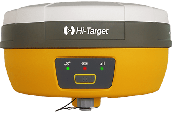
Hi-Target V30 Plus adalah
sistem Global Navigation Satellite System (GNSS) RTK (Real-Time Kinematic) geodetik, yang dirancang untuk survei dan pemetaan dengan presisi tinggi. Perangkat ini memiliki desain kokoh berkelas industri yang ringkas, dengan mesin GNSS multi-konstelasi untuk pemosisian yang stabil dan akurat bahkan di lingkungan yang sulit.
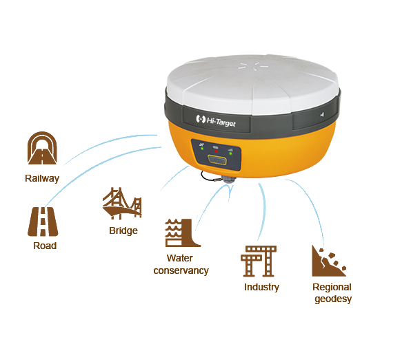
Smart application
Road
Railway
Bridge
Water conservancy
Industry
Regional geodesy
Product Parameters
8 mm H/ 15 mm V
Real time kinematic precision
800+
Channels
GPS, GLONASS, Galileo, BDS, QZSS, SBAS
Signal tracking
Support multi-protocol radio
Receive & Transmit
Slope Method 2.0
Tilt Survey
Brosure
Video
Hanya pelanggan yang sudah login dan telah membeli produk ini yang dapat memberikan ulasan.
Produk Terkait

GPS Sokkia GCX3
Baca selengkapnyaGet centimeter-level results without being weighed down by your equipment. This compact receiver delivers full-featured, high-precision performance. The GCX3 is the ideal local job site base/rover RTK (Real Time Kinematic) system or network RTK rover – and like all of our solutions, you can customize it to meet your needs and create your own workflows. …

ESurvey E800
Baca selengkapnyaHigh-performance RTK Receiver
The E800 is a high-performance GNSS receiver that provides an easy-to-use solution for survey professionals who need to collect highly accurate data in a wide range of applications. The durable IP67 design makes it possible to work in extreme environments. The colorful touchscreen is convenient for quick configurations.
GPS Sokkia GRX3
Baca selengkapnyaNumber of Universal Tracking Channels 226 UTC technology Tracked Signals GPS L1 C/A, L1C, L2P(Y), L2C, L5 GLONASS L1 C/A, L1P, L2 C/A, L2P, L3C BeiDou B1, B2 Galileo E1,E5a, E5b, Alt-BOC SBAS L1 C/A, L5 WAAS/MSAS/EGNOS/GAGAN QZSS L1 C/A, L1C, L1-SAIF, L2C, L5 Static/Fast Static H: 3 mm + 0.4 ppm V: 5 mm …






Ulasan
Belum ada ulasan.