Popular
-

 Sokkia Charger CDC68 Rp0 + PPN 11%
 -
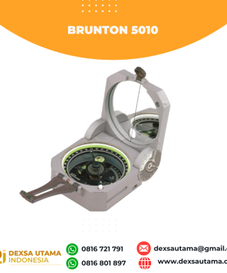 Kompas Brunton 5010
 -
 Nikon Marine OceanPro CF WP 7x50
 -
 GPS Garmin eTrex SE
 -
 Nikon Prisma Poligon Rp0 + PPN 11%

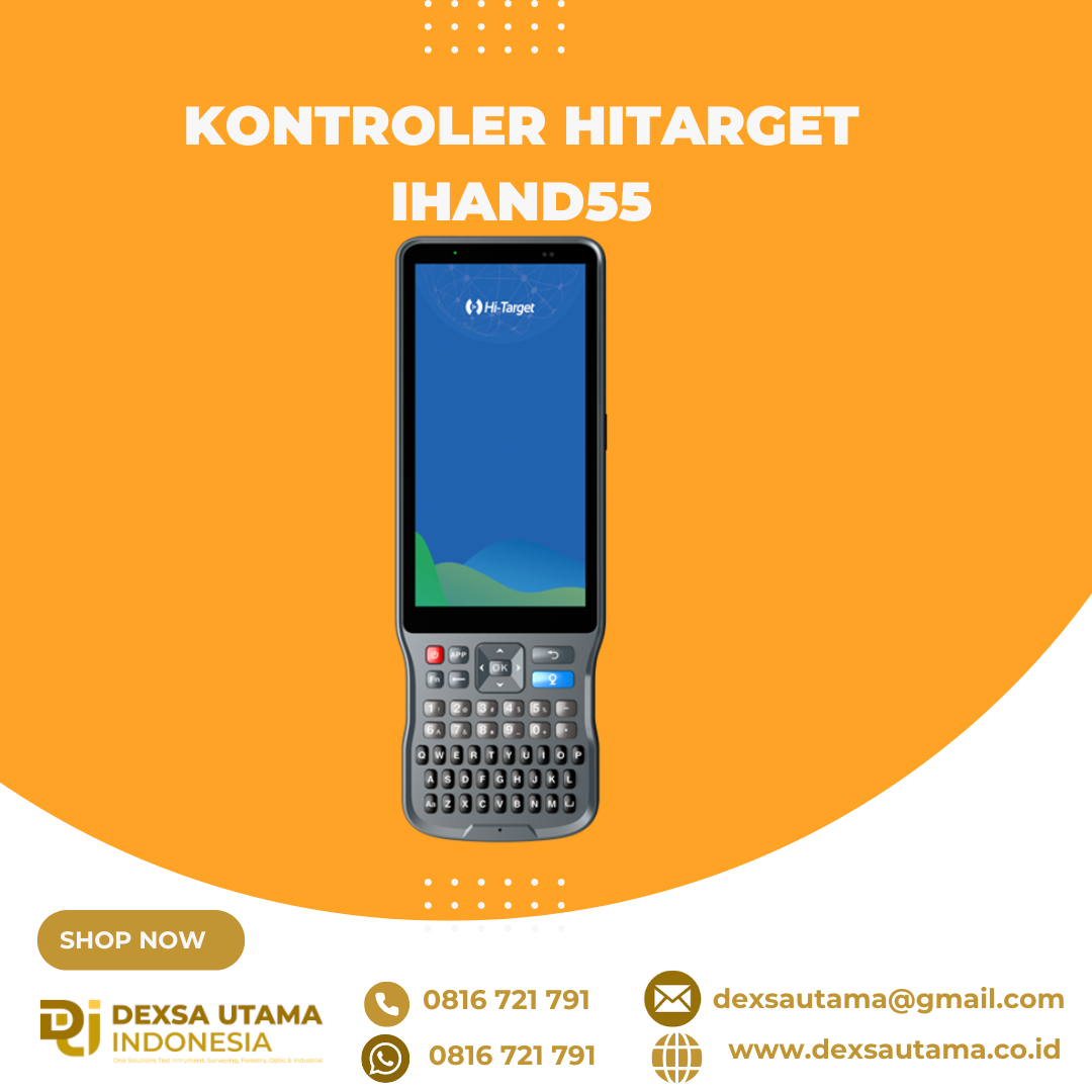
Kontroler Hitarget iHand55
The iHand55 Handheld Controller is a professional field controller with a big vision. Adopting a full-keyboard design, iHand55 supports the fast charge. The updated screen is readable in direct sunlight. More features of the latest Hi-Survey Road Software contribute to achieving high intelligence. Keeping robust and reliable in fieldwork under any conditions, iHand55 is a perfect choice for your survey work
![]()
![]()
5.5”sunlight readable display capacitive touch screen for fingers or stylus.
![]()
![]()
QWERTY full keyboard designed, convenient for different measurement application scenarios.
![]()
![]()
Equip laser rangefinder(optional) can greatly improve the efficiency of your measurement work.
![]()
![]()
Android 11.0 operating system equipped to maintain the productivity of numerous survey projects and data.
Brosure
Hanya pelanggan yang sudah login dan telah membeli produk ini yang dapat memberikan ulasan.
Produk Terkait

GPS Geodetik RTK Comnav Sino Jupiter Laser
Baca selengkapnyaChannel 1668 Satellites tracking GPS: L1C/A, L1C, L2P, L2C, L5 BDS: B1l, B2l, B3l, B1C, B2a, B2b GLONASS: L1, L2, L3 Galileo: E1, E5a, E5b, E6c, E5 AItBOC QZSS: L1C/A, L2C, L5, L1C IRNSS: L5 SBAS: L1C/A PPP: B2b & HAS L-Band Signal Re-acquisition ≤1s Cold Start ≤30s Hot start ≤10s RTK Initialization Time <5s(Baseline≤10km) …

GPS Hitarget V30 Plus Rover
Baca selengkapnyaHi-Target V30 Plus adalah
sistem Global Navigation Satellite System (GNSS) RTK (Real-Time Kinematic) geodetik, yang dirancang untuk survei dan pemetaan dengan presisi tinggi. Perangkat ini memiliki desain kokoh berkelas industri yang ringkas, dengan mesin GNSS multi-konstelasi untuk pemosisian yang stabil dan akurat bahkan di lingkungan yang sulit.


Ulasan
Belum ada ulasan.