


TERSUS OSCAR PROBASE
Rp0 + PPN 11%
Hubungi Kami :
 0816 721 791
 dexsautama@gmail.com
RTK presisi tinggi GNSS yang canggih memungkinkan Oscar tidak hanya melacak lebih banyak satelit, tetapi juga secara efektif menyaring sinyal dengan kesalahan multipath yang serius dan rasio signal-to-noise yang rendah. Oscar selalu memberikan hasil dengan presisi tinggi bahkan di ngarai perkotaan dan area dengan kanopi pohon yang lebat, tempat banyak penerima lainnya kesulitan.
- Supports GPS L1 C/A, L2C, L2P, L5, GLONASS L1 C/A, L2 C/A, BeiDou B1, B2, B3, support BDS-3, Galileo E1, E5a, E5b, QZSS L1 C/A, L2C, L5
- Supports 576 channels, track more than 50 satellites
- 410-470MHz UHF radio, 4G network, Wi-Fi, Bluetooth, NFC
- Various working modes, RTK Rover, Base, Static
- 16GB internal storage
- Up to 16 hours working in RTK mode
- IP68-rated dust-& waterproof enclosure, for reliability in harsh environmental conditions
Brosure
Hanya pelanggan yang sudah login dan telah membeli produk ini yang dapat memberikan ulasan.
Produk Terkait


CHCNAV HCE600
Baca selengkapnyaThe HCE600 is a lightweight, professional Android data collector designed for field surveying and mapping. With a 5.5-inch DragonTrail™ display, it offers exceptional durability and clear visibility in sunlight. Packed with Bluetooth 5.0, dual-band Wi-Fi, and a 4G modem, it ensures seamless connectivity with GNSS receivers and RTK networks. Certified to IP67 and MIL-STD-810H standards, the HCE600 is built to withstand harsh environments, making it the ideal handheld controller for reliable data collection in any conditions


Produk
-
 DJI Zenmuse L2
 -
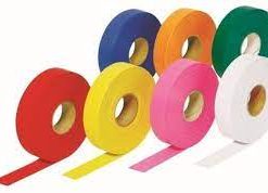
 Pita Survey Flagging Tape Pink Glow
 -
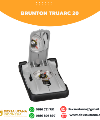 Kompas Brunton TruArc 20
 -
 Keypad Rubber for Topcon GM55/52 Rp0 + PPN 11%
 -
 Lutron CO2-9904SD CO2 Meter + Humidity/Temp., SD Card
 -
 Trimble C3 2" Rp0 + PPN 11%
 -
 Leica GDZ112 Rp0 + PPN 11%
Ulasan
Belum ada ulasan.