

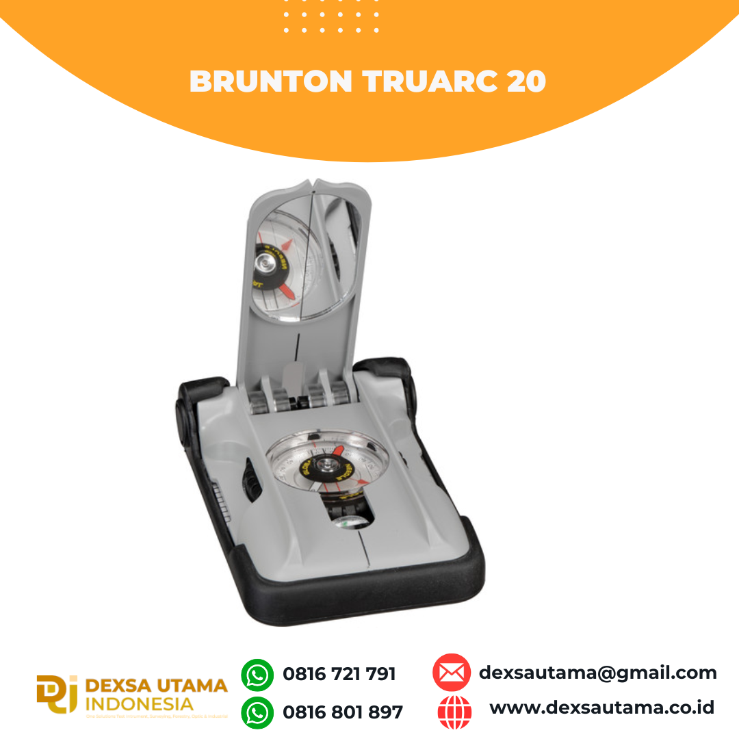
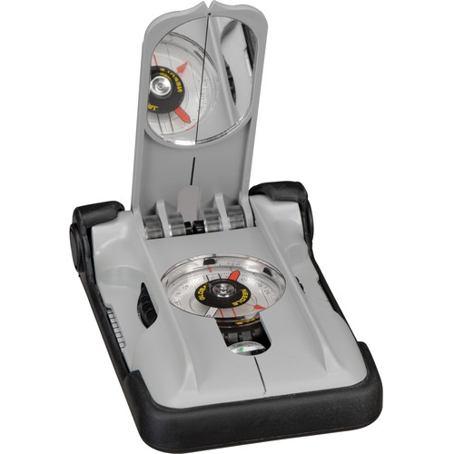
Kompas Brunton TruArc 20
- Globally Balanced
- Rare Earth Magnet
- Tool-Free Declination: ±180°
- Waterproof to 300′ Deep
- High Visibility Clings
- Map Magnifier
- Triple Clinometer System
- Sighting Mirror
- Bubble Level & Magnified Readout
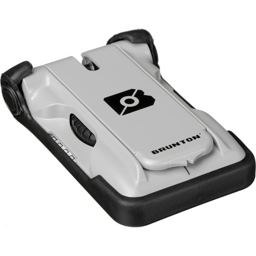
- Protective Cover & Field Reference Cards
- TruArc™ Global Needle tilts up to 20˚ for balanced use world wide
- Tool-free declination adjustment is simple and fast to orient magnetic north to true north
- Meridian lines on vial assist during pre-trip planning when aligning with map grid lines
- Inch/millimeter scales for accurate and effective map work
- Romer scales provide maximum accuracy of latitude and longitude for easy integration with handheld GPS unit
- Brunton EverNorth Magnet resists demagnetization over time
- Magnified readout provides highest degree of accuracy without compromising readability
- Dual azimuth ring includes reverse azimuth
- Sighting mirror and sighting line integrated into the cover. Align for the most accurate bearings, whether taking or following a bearing
- Clinometer with 2˚ resolution for measuring slope angle or gauging heights of passes, peaks or trees
- Engineer’s ruler
- Bubble level for absolute precision readings; keeping the compass level (not the needle level) is a critical aspect for taking an accurate bearings
- Map magnifier helps with the smaller details on any map
- Quick-reference lid for easy and speedy readings
- Cover and rubber foot protects the compass and houses reference cards
- User-specific reference cards with scales, rulers, and useful tips and information for backcountry travel and trip planning
- High visibility cling for enhanced performance in low light; can be removed to facilitate map use
- 1˚ resolution azimuth ring provides precise readings
- Made in the USA in Riverton, WY
Spesification
| Region | |
| Compass Style | |
| Azimuth | |
| Clinometer | |
| Declination Adjustment | |
| Additional Functions | |
| Dimensions | |
| Weight |
Hanya pelanggan yang sudah login dan telah membeli produk ini yang dapat memberikan ulasan.
Produk Terkait
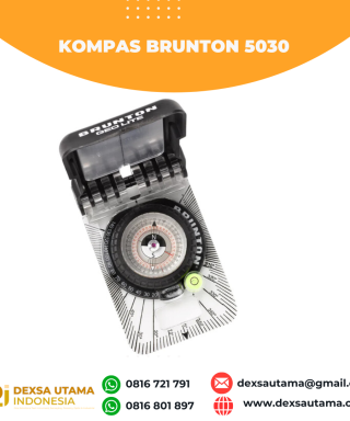

Kompas Brunton 5030
Baca selengkapnya- Compact and Lightweight Design
- Equator Balanced
- Transit-Style Direct-Read Azimuth System
- Slender Needle for a More Accurate Read
- EverNorth Magnet Resists Demagnetization
- ±180° Declination Adjustment
- Integrated Protractor and Bubble Level
- Sighting Mirror for Accurate Bearings
- Tool-Free Declination Adjustment
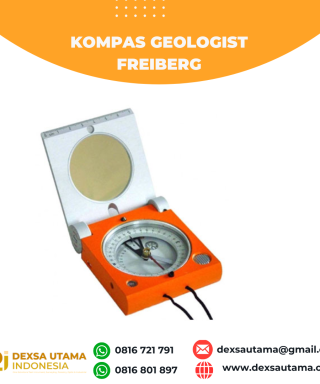
Kompas Geologist Freiberg
Baca selengkapnya- compass circle • diameter: 45 mm • scale value: 2° (2 gon) • estimation: 0,5° (0,5 gon)
- azimuth circle • diameter. 22 mm • scale value: 5° (5 gon) • estimation: 1° (1 gon)
- clinometer • measuring range: +/- 90° (+/- 100 gon) • scale value: 2° (2 gon) • estimation: 0,5° (0,5 gon)
- contact edge • graduated length: 70 mm • scale value: 1 mm


Ulasan
Belum ada ulasan.