



LiDAR CHCNAV AlphaAir 15
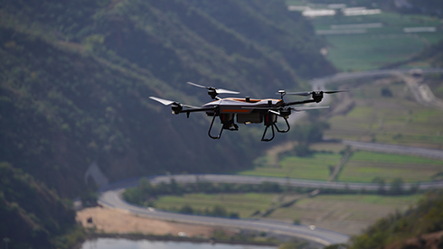
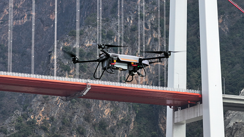
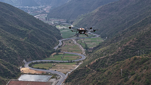
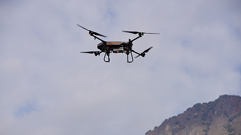
The AlphaAir 15 (AA15) is a lightweight, high-performance airborne LiDAR system designed for large-scale operations where high-density data capture is crucial. With a range of up to 1800 meters and the ability to produce 2 million pulses per second, the AA15 is ideal for mapping and geospatial applications, including corridor mapping, urban planning, and vegetation analysis. Its compact design allows for easy integration with UAVs, small aircraft, and helicopters.
Main Features
 High-Precision LiDAR
15 mm linear accuracy at 150 meters.
 High Penetration
Up to 16 returns per pulse for vegetation penetration.
 Multi-Platform
Easy integration with UAVs, aircraft and helicopters.
 Imaging Options
Multiple camera types for high-resolution data fusion.
High-Accuracy Data Capture
The AA15 delivers 15 mm linear accuracy on long-range scans up to 150 meters using CHCNAV’s patented tilted-prism technology. Its precision ensures reliable data for complex projects, such as corridor mapping, where high-density point clouds are essential.
Extended Range and Coverage
With a maximum range of 1800 meters and a flying height of up to 700 meters, the AA15 is capable of large-scale area coverage with minimal point loss for corridor mapping applications such as highways, railroads, and pipeline inspections.
Exceptional Vegetation Penetration
The AA15 excels in penetrating dense vegetation with its advanced multi-target capability, supporting up to 16 returns per laser pulse. It enables the detection of more ground points, ensuring comprehensive data collection in forested areas and improving the accuracy of terrain models.
Wide Platform Compatibility
The AA15’s lightweight design (2.5 kg) and CHCNAV’s unified AlphaPort interface allow for quick integration with various airborne platforms, including UAVs, small aircraft, and helicopters.
High-Density Point Clouds
Capturing 2 million points per second, the AA15 is perfect for applications requiring high-density point clouds, such as power line inspections, road surveys, and urban mapping.
Advanced Imaging Options
The AA15 supports a range of external cameras, including CHCNAV’s 45 MP and 61 MP full-frame calibrated cameras and a 130 MP half-frame oblique camera. The integration of high-resolution imagery with LiDAR data enhances the quality of 3D models and texture mapping.
Comprehensive Ecosystem
The AA15 is part of CHCNAV’s complete airborne mapping solution, which includes the SmartGo app for automated reality capture and mission monitoring, and CoPre and CoProcess software for streamlined post-processing and feature extraction.
Rugged and Reliable
Designed to withstand challenging environments, the AA15 operates in temperatures ranging from -20°C to +50°C and is IP64-rated for dust and water resistance. Its robust construction ensures reliable performance in a variety of field conditions.


Specifications
Brosure
Hanya pelanggan yang sudah login dan telah membeli produk ini yang dapat memberikan ulasan.
Produk Terkait


SatLab SL9 SLAM RTK
Baca selengkapnyaSatLab SL9 SLAM RTK combines high-precision GNSS positioning with cutting-edge SLAM technology, eliminating the spatial constraints of traditional RTK measurements. Whether in urban buildings, dense forests, or indoor environments, SL9 ensures reliable, precise measurements, redefining efficiency and versatility in fieldwork

LiDAR CHCNAV AlphaAir 10
Baca selengkapnyaThe AlphaAir 10 is a professional airborne LiDAR+RGB system designed to meet the demanding requirements of UAV LiDAR mapping and drone photogrammetry. This advanced solution integrates superior LiDAR technology with accurate GNSS positioning, IMU orientation, and a professional full frame orthophoto camera. Together with CHCNAV’s point cloud and image fusion modeling software, the AA10 delivers survey-grade accuracy, efficiency, and cost-effectiveness in 3D data acquisition and processing
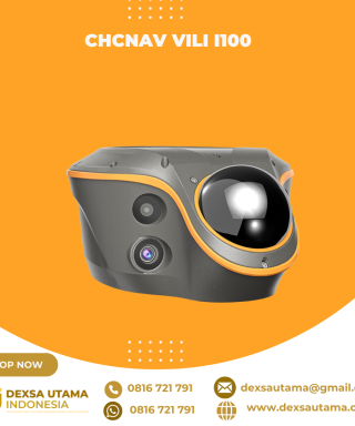
CHCNAV ViLi i100
Baca selengkapnyaThe ViLi i100 is CHCNAV’s flagship GNSS RTK receiver, combining advanced satellite filtering, enhanced SFix 2.0 positioning and innovative Vi-LiDAR technology. It provides reliable, centimetre-level accuracy even in challenging GNSS environments, allowing professionals to extend the boundaries of traditional GNSS surveying.

Hitarget V700S SLAM RTK
Baca selengkapnyaHi-Target V700S SLAM RTK adalahperangkat GPS Geodetik inovatif yang menggabungkan teknologi Real-Time Kinematic (RTK) dan Simultaneous Localization and Mapping (SLAM). Perpaduan ini memungkinkan pengukuran dengan akurasi tingkat sentimeter, baik di area terbuka dengan sinyal GNSS kuat maupun di lokasi yang sulit dijangkau, seperti terowongan, lorong, atau di bawah jembatan






Ulasan
Belum ada ulasan.