


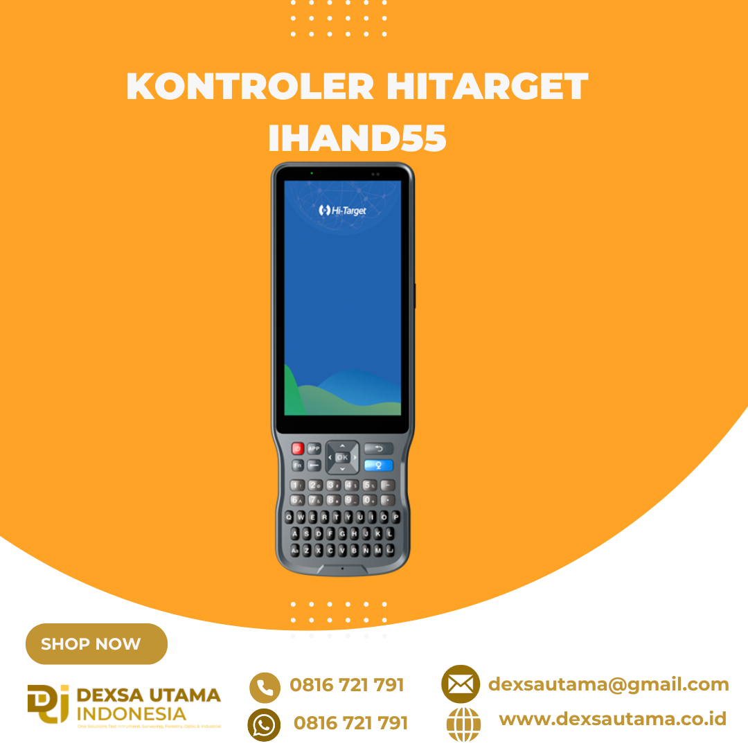
Kontroler Hitarget iHand55
The iHand55 Handheld Controller is a professional field controller with a big vision. Adopting a full-keyboard design, iHand55 supports the fast charge. The updated screen is readable in direct sunlight. More features of the latest Hi-Survey Road Software contribute to achieving high intelligence. Keeping robust and reliable in fieldwork under any conditions, iHand55 is a perfect choice for your survey work

5.5”sunlight readable display capacitive touch screen for fingers or stylus.

QWERTY full keyboard designed, convenient for different measurement application scenarios.

Equip laser rangefinder(optional) can greatly improve the efficiency of your measurement work.

Android 11.0 operating system equipped to maintain the productivity of numerous survey projects and data.
Brosure
Hanya pelanggan yang sudah login dan telah membeli produk ini yang dapat memberikan ulasan.
Produk Terkait
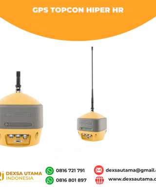

GPS Topcon Hiper HR
Baca selengkapnyaThe HiPer HR GNSS receiver overcomes field challenges with a unique blend of technologies. If you’re under tree cover, or can’t get the pole plumb, or need to range widely from your base, or you need superb accuracy, or work in wet conditions, or all of the above, you’ll be free to do your best work. …

CHCNAV HCE600
Baca selengkapnyaThe HCE600 is a lightweight, professional Android data collector designed for field surveying and mapping. With a 5.5-inch DragonTrail™ display, it offers exceptional durability and clear visibility in sunlight. Packed with Bluetooth 5.0, dual-band Wi-Fi, and a 4G modem, it ensures seamless connectivity with GNSS receivers and RTK networks. Certified to IP67 and MIL-STD-810H standards, the HCE600 is built to withstand harsh environments, making it the ideal handheld controller for reliable data collection in any conditions

GPS Geodetik RTK Comnav Sino Jupiter Laser
Baca selengkapnyaChannel 1668 Satellites tracking GPS: L1C/A, L1C, L2P, L2C, L5 BDS: B1l, B2l, B3l, B1C, B2a, B2b GLONASS: L1, L2, L3 Galileo: E1, E5a, E5b, E6c, E5 AItBOC QZSS: L1C/A, L2C, L5, L1C IRNSS: L5 SBAS: L1C/A PPP: B2b & HAS L-Band Signal Re-acquisition ≤1s Cold Start ≤30s Hot start ≤10s RTK Initialization Time <5s(Baseline≤10km) …








Ulasan
Belum ada ulasan.