


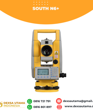
GPS Geodetik RTK Topcon HiPer SR
Harga Belum termasuk PPN
Garansi 12 Bulan

SIMPLE AND SOPHISTICATED
Daily setup routines are made easy through the HiPer SR’s LongLink intelligence feature. More than just a wireless Bluetooth connection, LongLink serves to automatically connect multiple HiPer SR rovers to your mobile base. Just power them on and let the system do the rest. Combine your Topcon HiPer SR receiver with a robotic total station system, to create a Hybrid solution ready for any environment.
This entry-level GNSS solution is ideal for interference-free, short-range, wireless communication between base and rover. With an optional, internal, dual-SIM cellular modem the HiPer SR can also be used as a MAGNET Relay mobile base, adding flexibility to your portfolio for your various project scenarios.
- Capable of tracking GPS and GLONASS constellations
- Universal Tracking Channels capable of all-in-view tracking
- Hybrid Positioning ready
- Signal scrubbing Fence Antenna® to provide ultimate signal lock
- Highest accuracy positioning for RTK, network, and more
| Berat | 45 kg |
|---|
Brosur
Hanya pelanggan yang sudah login dan telah membeli produk ini yang dapat memberikan ulasan.
Produk Terkait


GPS Geodetik RTK Comnav Sino Jupiter Laser
Baca selengkapnyaChannel 1668 Satellites tracking GPS: L1C/A, L1C, L2P, L2C, L5 BDS: B1l, B2l, B3l, B1C, B2a, B2b GLONASS: L1, L2, L3 Galileo: E1, E5a, E5b, E6c, E5 AItBOC QZSS: L1C/A, L2C, L5, L1C IRNSS: L5 SBAS: L1C/A PPP: B2b & HAS L-Band Signal Re-acquisition ≤1s Cold Start ≤30s Hot start ≤10s RTK Initialization Time <5s(Baseline≤10km) …


Ulasan
Belum ada ulasan.