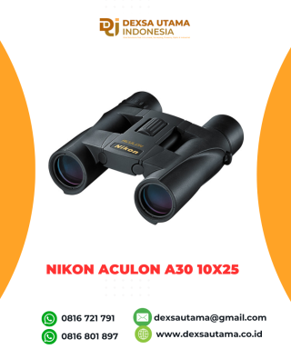
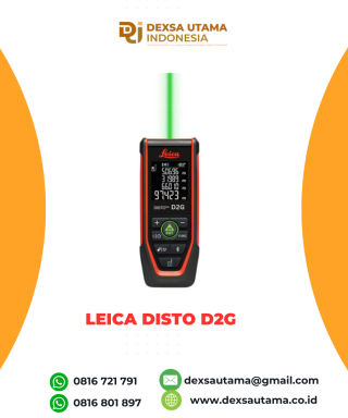
Category
- Uncategorized
- Abney Level
- Accessories GPS Geodetik
- Accessories Lain
- Accessories Survey
- Alat Curah Hujan
- Altimeter
- Anemometer
- Anemometer Kestrel
- Automatic Digital Level
- Automatic Level
- Baterai GPS RTK
- Baterai Total Station & Theodolite
- Borescope Endoscope
- Bushnell H2O
- Bushnell Lainnya
- Bushnell Powerview
- Bushnell Powerview 2
- Curvimeter
- Densiometer
- Detektor Petir
- Diagonal Eyepiece
- Digipas Digital Level
- Drone
- Dulang
- Echo Sounder
- Global Water
- GPS Furuno
- GPS Garmin
- GPS Geodetik
- GPS Trimble
- Hammer Test & Profometer
- Hand Lens
- Humidity / Temp
- Inclinometer
- Kabel Locator
- Kamera Trap
- Kompas
- Laser level / Crossline Laser
- Leica Disto Meter
- LiDAR Laser Scanner
- Meteran
- Nikon Action EX
- Nikon Aculon
- Nikon Monarch
- Notebooks
- Palu Geologi
- Photometer
- Pita Survey/Flagging Tape
- Pocket Microscope
- Prisma Total Station
- Protractor Ruler
- Radar Gun
- Rangefinder
- Rotating Laser level
- Sampel Bag
- Software
- Soil Tester
- Susceptibility Meter
- Tachometer
- Telepon Satelit
- Temperature & Data Logger
- Tension Meter
- Teropong Malam/Night Vision
- Teropong Marine
- Theodolite & Laser Plummet
- Total Station
- Total Station Robotic
- USV
- Water Level Meters
- Weather Station

DJI Zenmuse L1
190 m @ 10% reflectivity, 100 klx
Multiple return: max. 480,000 pts/s
Vertical: 5 cm @ 50 m
0° to 50° C (32° to 122° F) (when using RGB mapping camera)
Brosure
Hanya pelanggan yang sudah login dan telah membeli produk ini yang dapat memberikan ulasan.
Produk Terkait
DJI Matrice 350 RTK
Baca selengkapnyaAn upgraded flagship drone platform, the Matrice 350 RTK sets a new benchmark for the industry. This next-generation drone platform features an all-new video transmission system and control experience, a more efficient battery system, and more comprehensive safety features, as well as robust payload and expansion capabilities. It is fully powered to inject innovative strength into any aerial operation
Drone CHCNAV X500
Baca selengkapnyaThe CHCNAV X500 rotor UAV is a professional drone engineered for exceptional payload capacity and endurance. Equipped with advanced flight controls and high-precision positioning, it delivers superior maneuverability, stability, and flight performance. Its built-in visual SLAM and obstacle detection radar ensure intelligent, safe operations. Compatible with CHCNAV sensors and third-party payloads, the X500 is ideal for applications such as surveying, urban surveillance, emergency scouting, disaster relief, and inspection missions.


Ulasan
Belum ada ulasan.