


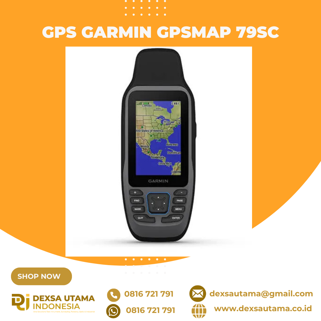
Garmin GPSMAP 79SC
CAST OFF CONFIDENTLY
Stay on course, and track more adventures with these rugged, floating handhelds.

It’s water-resistant, it floats, and it’s fogproof, so it belongs on the water — just like you.

This thing can remember up to 10,000 waypoints and more, so you don’t have to.

It’s nice to have reliable positioning when you’re out on the water.

The built-in compass will point you in the right direction.

Get the best of Garmin and Navionics® data with optional BlueChart® g3 coastal charts.

Stay out longer with up to 19 hours of battery life in GPS mode.

Built for life on the boat.
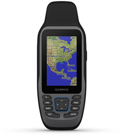
RUGGED HANDHELD
This handheld is water-resistant (IPX7) with a high-resolution color display you can read in the sun. The glass is even scratch-resistant and fogproof.
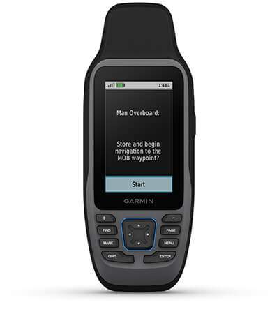
DESIGNED TO FLOAT
If rough waters come and the handheld goes overboard, don’t worry. This device floats.
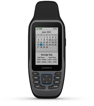
BATTERY LIFE
User-replaceable AA batteries (not included) provide up to 19 hours of battery life in GPS tracking mode.
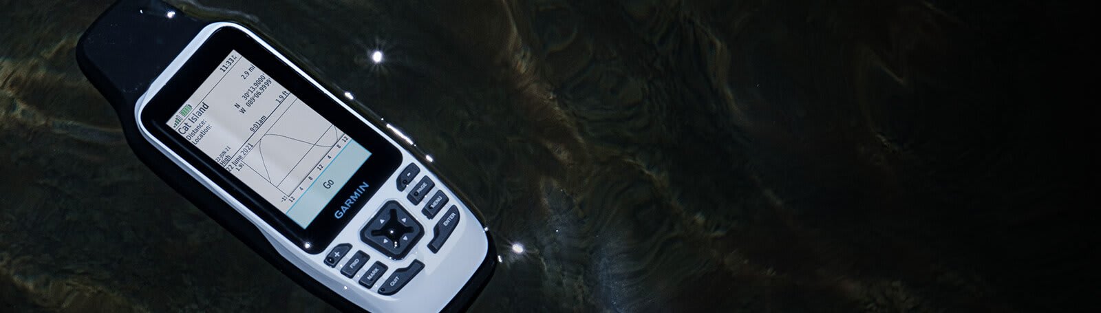
Exactly what you need to navigate.
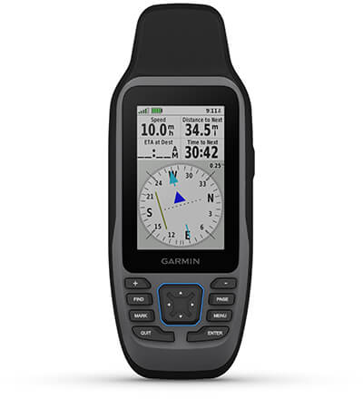
ACCURATE TRACKING
With support for multiple satellite constellations — such as GPS, GLONASS, Galileo, QZSS and SBAS — you’ll get accurate, reliable tracking and positioning around the world.
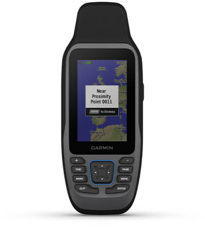
INCREASED MEMORY
More memory than previous models means you can save and track 10,000 waypoints, 250 routes and 300 fitness activity files.
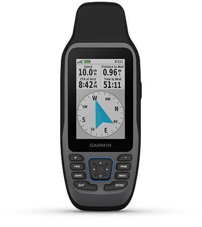
BUILT-IN COMPASS
The 3-axis tilt-compensated electronic compass shows your heading — even while the boat is standing still.
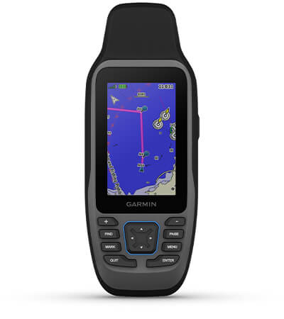
BLUECHART COVERAGE
Preloaded BlueChart g3 coastal charts (GPSMAP 79sc only) give you leading-edge coverage, clarity and detail with integrated Garmin and Navionics data. Coverage includes the U.S. and the Great Lakes.
Hanya pelanggan yang sudah login dan telah membeli produk ini yang dapat memberikan ulasan.
Produk Terkait


GPS Garmin GPSMAP 65s
Baca selengkapnyaTEMUKAN JALAN ANDA DI DUNIA YANG BESAR DAN LUAS INI Lakukan eksplorasi lebih jauh dengan perangkat genggam yang menawarkan beragam frekuensi untuk penentuan posisi paling akurat dari kami untuk saat ini, layar warna berukuran 2.6″ dan peta bawaan. Tak pernah lewatkan detail sekecil apa pun dengan layar besar berwarna yang dapat dibaca di bawah sinar …

GPS Garmin GPSMAP 585 Plus
Baca selengkapnyaFind fishing spot, Catch fish with the Power of Garmin CHIRP Multi language support : English, Simplified Chinese, Traditional Chinese, Japanese, Korean, Indonesia Bahasa, Malaysia Bahasa, Vietnamese, Burmese, Thai. Available in 6-inch WVGA color, portrait mode display. Offers a keyed interface with dedicated buttons. CHIRP sonar sends a continuous sweep of frequencies ranging from low …

Garmin Striker Plus 4
Baca selengkapnya4” GPS Fishfinder with Industry-leading Sonar and Quickdraw Contours Mapping Software Includes dual-beam transducer with Garmin CHIRP traditional sonar for crystal-clear images and remarkable target separation Built-in Garmin Quickdraw™ Contours mapping software lets you create and store maps with 1’ contours for up to 2 million acres Built-in GPS lets you mark waypoints, create routes …

Garmin GMR 18HD+
Baca selengkapnyaDome 4 kW yang Ringkas dan Langsing Radar dome 18-inch 4 kW yang ringkas Menghantarkan 4 kW kekuatan pancar dan echo definition yang jelas di segala jangkauan Dynamic Auto Gain secara otomatis melakukan penyesuaian dengan area sekitar anda untuk medapatkan performa maksimal di segala kondisi Dynamic Sea Filter secara otomatis melakukan penyesuaian untuk mendapatkan informasi …





Ulasan
Belum ada ulasan.