


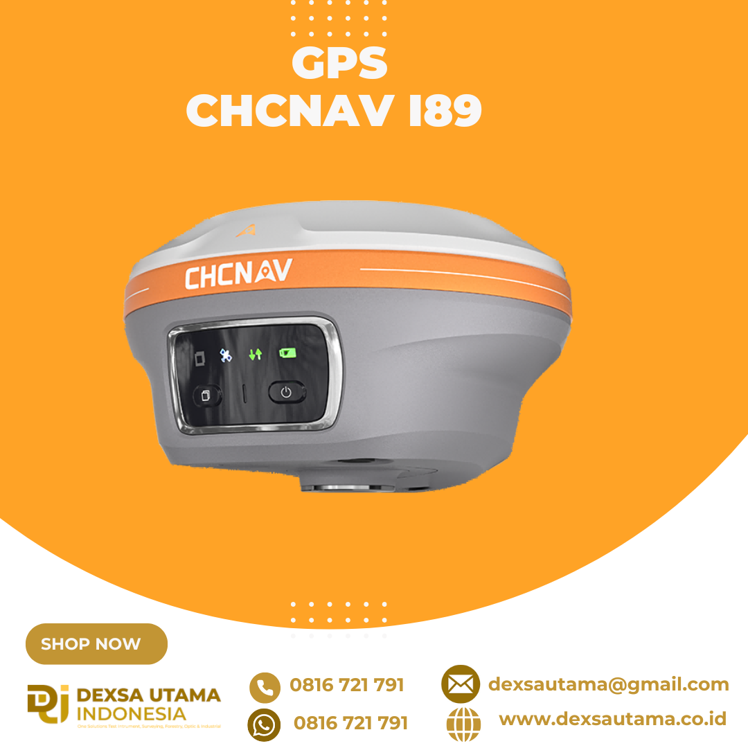


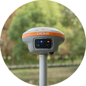
GPS CHCNAV i89
The i89 is a compact yet powerful surveying tool with a 1408-channel GNSS module that enhances RTK performance in challenging conditions. Its advanced ionospheric modeling ensures reliable RTK fixes, even during high solar activity. With 16.5 hours of battery life and a lightweight 750 g design, the i89 delivers efficiency and ease for daily surveying tasks.
Main Features
 Lightweight
Only 750g for efficiency and ease of everyday use.
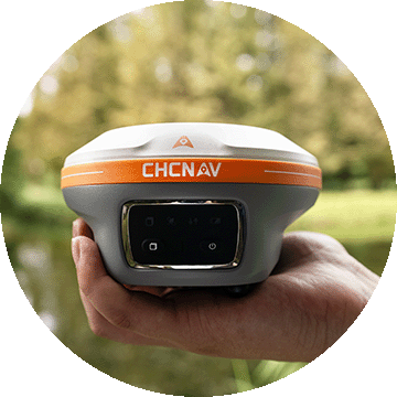
 Visual Surveying
Dual cameras extract survey-grade 3D coordinates improving point measurement efficiency.
 Superior GNSS
Advanced ionospheric error mitigation with iStar 2.0
 Auto-IMU
200 Hz Auto-IMU provides accurate measurements with pole tilt compensation.
Best GNSS Performance
The i89 achieves unrivalled GNSS performance – the iStar2.0 algorithm and ionospheric interference rejection technology provide a 96% reliable fix rate in low latitude regions with high solar activity.
Visual Survey Excellence
Accurately measure previously inaccessible points with the i89’s vision surveying capabilities. Panoramic capture mode with 85% overlap with integrated IMU data significantly improves point measurement performance.
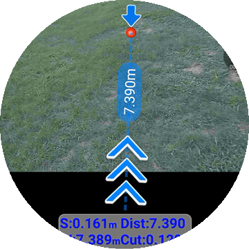
AR Visual Navigation and Stakeout
Simplify field operations with the i89’s AR visual navigation and stakeout features that save up to 50% of the operator’s time, even for less experienced users, with a reliability that is 10 times greater than standard gyroscope-based GNSS.
Efficient 3D Modeling
Seamlessly create 3D models using the i89’s video photogrammetry algorithms. Compatibility with industry-standard 3D modelling software ensures flexibility and convenience.
Auto-IMU Technology
The i89’s built-in 200Hz Auto-IMU removes the need for manual initialization, ensuring efficiency with every measurement. Its automatic pole tilt compensation maintains 3cm accuracy over a 60-degree tilt range.
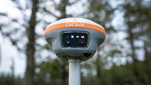
Compact and Durable Design
The i89 pocket-sized design (750g) integrates GNSS, IMU and dual cameras into a single compact unit. IP68-rated for durability and reliable performance in a variety of field conditions, the i89 can withstand a 2 meter pole drop.
Specifications
Brosure
Hanya pelanggan yang sudah login dan telah membeli produk ini yang dapat memberikan ulasan.


Ulasan
Belum ada ulasan.