



GPS Geodetik RTK Comnav Sino N2
- 1590 channels and 50+ satellites tracking capabilities
- Tracking all running and planned constellations, including GPS, BDS-2, BDS-3, GLONASS, Galileo, QZSS, IRNSS and SBAS
- Up to 15km work range with enhanced UHF
- Up to 120° tilt with 2.5 cm accuracy
- 20+ hrs continuous work with 10000mAh batteries
- Support NFC and Bluetooth connection
- IP67 dust- and waterproof for harsh environments
- Channel1590
- Satellites trackingGPS: L1C/A, L1C, L2P, L2C, L5
BDS: B1l, B2l, B3l, B1C, B2a, B2b
GLONASS: G1, G2, G3
Galileo: E1, E5a, E5b, E6c, E5 AItBOC
QZSS: L1C/A, L2C, L5, L1C
IRNSS: L5
SBAS: L1C/A - Signal Re-acquisition≤1s
- Cold Start≤45s
- Hot start≤15 s
- RTK Initialization Time<10s>
- Initialization reliability≥99.9%
- Internal Memory8GB
- Static and Fast StaticHorizontal 2.5 mm + 0.5 ppm RMS
Vertical 5 mm + 0.5 ppm RMS - Signal Baseline RTKHorizontal 8mm + 1ppm RMS
Vertical 15mm + 1ppm RMS - Long Observation Static3 mm + 0.1 ppm Horizontal
3.5 mm + 0.4 ppm Vertical - DGPS<0.4m RMS
- SBAS0.5m Horizontal
0.8m Vertical - Standalone1.5m 3D RMS
- Data Update Rate1Hz, 2Hz, 5Hz, 10Hz
- Tilt Surveyup to 120° tilt with 2.5cm accuracy
Brosur
Hanya pelanggan yang sudah login dan telah membeli produk ini yang dapat memberikan ulasan.
Produk Terkait


GPS Topcon HiPer SR
Baca selengkapnyaSIMPLE AND SOPHISTICATED Daily setup routines are made easy through the HiPer SR’s LongLink intelligence feature. More than just a wireless Bluetooth connection, LongLink serves to automatically connect multiple HiPer SR rovers to your mobile base. Just power them on and let the system do the rest. Combine your Topcon HiPer SR receiver with a …

ESurvey E600
Baca selengkapnyaThe new e-survey E600 GNSS Receiver is coming to change the scene in the high-end GNSS receiver market. With up to 800 true channels and surprising performance, it is destined to be the perfect ally of the topographer – and not only – in the pursuit of perfection. E600 supports all the new technologies (Tilt …
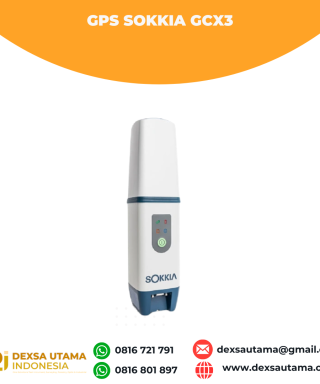
GPS Sokkia GCX3
Baca selengkapnyaGet centimeter-level results without being weighed down by your equipment. This compact receiver delivers full-featured, high-precision performance. The GCX3 is the ideal local job site base/rover RTK (Real Time Kinematic) system or network RTK rover – and like all of our solutions, you can customize it to meet your needs and create your own workflows. …








Ulasan
Belum ada ulasan.